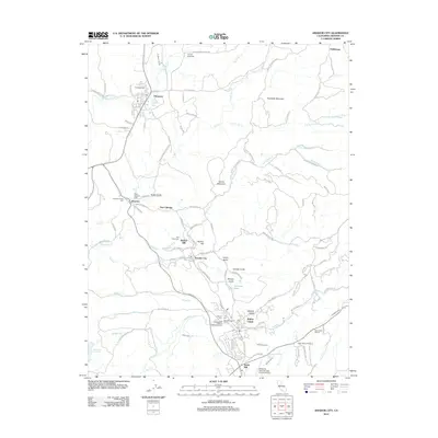
2012 Map of Amador City
USGS Topo · Published 2012About this map
Amador City and the neighboring settlements of Drytown and Sutter Creek are situated within a landscape defined by historic mining and viticulture in the early 21st century. The map details a transition toward modern agricultural land use, evidenced by Youngs Vineyards and Stoneridge Winery, while maintaining clear spatial links to its 19th-century roots. Numerous burial grounds, including the Drytown Public Cem and Oak Knoll Cem, mark the legacy of early families, while topographic names like Bunker Hill and Snake Gulch hint at the area's gold-seeking past. Water management remains central to the region, with the Ione Canal and Plymouth Ditch traversing the terrain alongside numerous seasonal drainages like Horse Cr and Amador Cr. The concentration of cemeteries near Sutter Hill and Sutter Creek, such as the Independent Order of Oddfellows Cem, offers significant detail for researchers of local genealogy.
Find a feature on this map
114 named features on this map. Tap any name to fly to it.
Don’t see what you’re looking for? This feature index may not catch every label — zoom into the map to look around manually.
Map Details
Editions of this 2012 Amador City Map
This is the sole edition of this map. No revisions or reprints were ever made.
Other maps of this area

1889 · Jackson
USGS Topo · 1:125,000

1891 · Placerville
USGS Topo · 1:125,000

1892 · Jackson
USGS Topo · 1:125,000

1892 · Placerville
USGS Topo · 1:125,000

1893 · Placerville
USGS Topo · 1:125,000

1897 · Jackson
USGS Topo · 1:125,000

1902 · Jackson
USGS Topo · 1:125,000

1941 · Sutter Creek
USGS Topo · 1:62,500

1944 · Sutter Creek
USGS Topo · 1:62,500

1947 · Sacramento
USGS Topo · 1:250,000