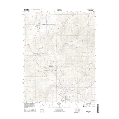
2015 Map of Amador City
USGS Topo · Published 2015About this map
Amador City and the historic Gold Country settlements along the Highway 49 corridor are documented in this detailed 2015 topographic survey. The map captures the dense cluster of mining-era hamlets and cemeteries that define the local genealogy, including Drytown, New Chicago, and Bunker Hill. Complex water management systems, essential to the region's hydraulic history, are visible through labels like the Plymouth Ditch, Arroyo Seco Ditch, and Amador Canal.
Find a feature on this map
118 named features on this map. Tap any name to fly to it.
Don’t see what you’re looking for? This feature index may not catch every label — zoom into the map to look around manually.
Map Details
Editions of this 2015 Amador City Map
This is the sole edition of this map. No revisions or reprints were ever made.
Other maps of this area

1889 · Jackson
USGS Topo · 1:125,000

1891 · Placerville
USGS Topo · 1:125,000

1892 · Jackson
USGS Topo · 1:125,000

1892 · Placerville
USGS Topo · 1:125,000

1893 · Placerville
USGS Topo · 1:125,000

1897 · Jackson
USGS Topo · 1:125,000

1902 · Jackson
USGS Topo · 1:125,000

1941 · Sutter Creek
USGS Topo · 1:62,500

1944 · Sutter Creek
USGS Topo · 1:62,500

1947 · Sacramento
USGS Topo · 1:250,000