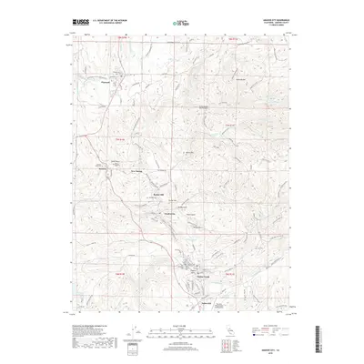
2018 Map of Amador City
USGS Topo · Published 2018About this map
Sutter Creek and Amador City anchor this landscape of the northern Mother Lode, where the deep-rooted legacy of the California Gold Country is etched into the terrain. The map documents a cluster of historically significant settlements along the Highway 49 corridor, including Drytown, Plymouth, and New Chicago. For genealogists and local historians, the sheet is exceptionally detailed in its recording of local burial grounds, ranging from the Drytown Public Cem and Saint Stephens Cem to the Odd Fellows Cem and Sutter Creek Catholic Cem. The physical geography is defined by a complex network of water management features like the Amador Canal, Jackson Ditch, and Arroyo Seco Ditch, which supported the region's hydraulic and industrial needs. From the heights of Trembath Mtn to the depths of Snake Gulch, the map captures a transition between the foothills and the Sierra Nevada's lower reaches.
Find a feature on this map
132 named features on this map. Tap any name to fly to it.
Don’t see what you’re looking for? This feature index may not catch every label — zoom into the map to look around manually.
Map Details
Editions of this 2018 Amador City Map
This is the sole edition of this map. No revisions or reprints were ever made.
Other maps of this area

1889 · Jackson
USGS Topo · 1:125,000

1891 · Placerville
USGS Topo · 1:125,000

1892 · Jackson
USGS Topo · 1:125,000

1892 · Placerville
USGS Topo · 1:125,000

1893 · Placerville
USGS Topo · 1:125,000

1897 · Jackson
USGS Topo · 1:125,000

1902 · Jackson
USGS Topo · 1:125,000

1941 · Sutter Creek
USGS Topo · 1:62,500

1944 · Sutter Creek
USGS Topo · 1:62,500

1947 · Sacramento
USGS Topo · 1:250,000