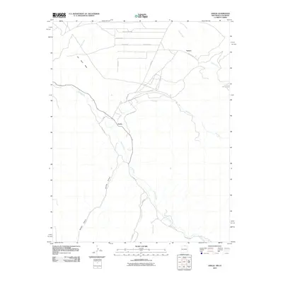
2010 Map of Amalia
USGS Topo · Published 2010About this map
Amalia and the settlement of Ventero anchor this study of the northern New Mexico landscape near the Colorado border. The area is defined by the convergence of several waterways, most notably Costilla Creek and its tributaries such as Ute Creek and Jarocito Creek. The terrain is dominated by the massive San Pedro Mesa to the northwest and the deep cut of Sanchez Canyon to the southwest. The presence of Amalia Logging Rd and Ski Rio Rd reflects the local economy's reliance on timber resources and mountain recreation. A grid-like residential development pattern is visible in the north along Sangre De Cristo Rd and Panorama Blvd, showing modern expansion near the traditional village centers established along the fertile creek bottoms.
Find a feature on this map
23 named features on this map. Tap any name to fly to it.
Don’t see what you’re looking for? This feature index may not catch every label — zoom into the map to look around manually.
Map Details
Editions of this 2010 Amalia Map
This is the sole edition of this map. No revisions or reprints were ever made.
Other maps of this area

1954 · Raton
USGS Topo · 1:250,000

1954 · Trinidad
USGS Topo · 1:250,000

1955 · Trinidad
USGS Topo · 1:250,000

1958 · Raton
USGS Topo · 1:250,000

1958 · Trinidad
USGS Topo · 1:250,000

1959 · Trinidad
USGS Topo · 1:250,000

1963 · Costilla
USGS Topo · 1:24,000

1963 · Amalia
USGS Topo · 1:24,000

1963 · Cerro
USGS Topo · 1:24,000

1963 · Latir Peak
USGS Topo · 1:24,000