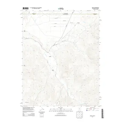
2013 Map of Amalia
USGS Topo · Published 2013About this map
Amalia sits at the heart of this high-altitude landscape where the Sangre de Cristo range gives way to the Taos Mountains. The settlement pattern is closely tied to the perennial waters of Costilla Cr, which carves a path through the valley flanked by the prominent San Pedro Mesa to the northwest. This 2013 survey illustrates the modern road network servicing the region, including Amalia Logging Rd and the access way to Ski Rio, reflecting the area's transition from traditional mountain industry toward recreation.
Find a feature on this map
30 named features on this map. Tap any name to fly to it.
Don’t see what you’re looking for? This feature index may not catch every label — zoom into the map to look around manually.
Map Details
Editions of this 2013 Amalia Map
This is the sole edition of this map. No revisions or reprints were ever made.
Other maps of this area

1954 · Raton
USGS Topo · 1:250,000

1954 · Trinidad
USGS Topo · 1:250,000

1955 · Trinidad
USGS Topo · 1:250,000

1958 · Raton
USGS Topo · 1:250,000

1958 · Trinidad
USGS Topo · 1:250,000

1959 · Trinidad
USGS Topo · 1:250,000

1963 · Costilla
USGS Topo · 1:24,000

1963 · Amalia
USGS Topo · 1:24,000

1963 · Cerro
USGS Topo · 1:24,000

1963 · Latir Peak
USGS Topo · 1:24,000