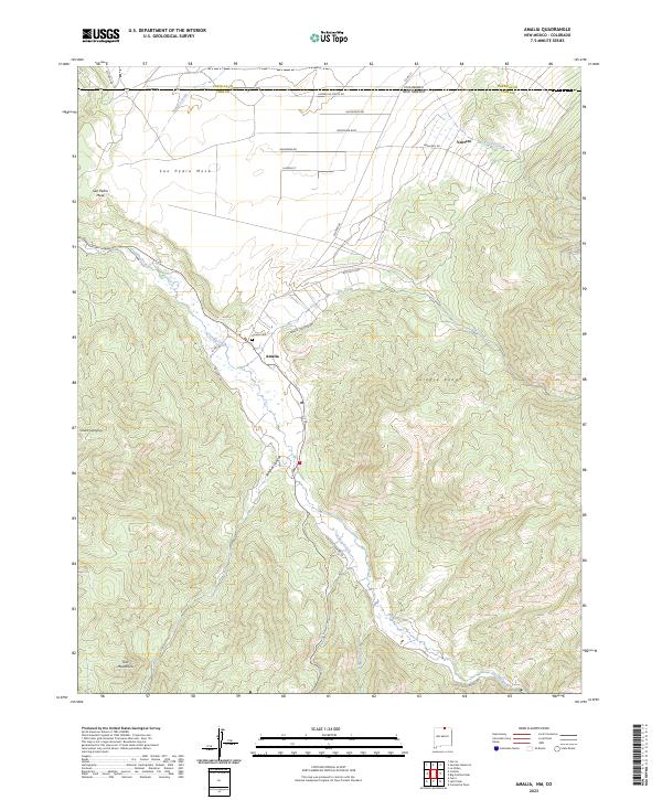
2023 Map of Amalia
USGS Topo · Published 2023About this map
Amalia lies at the intersection of high-altitude mountain ranges and riparian corridors where the Culebra Range meets the Taos Mountains. This northern Taos County landscape is defined by the course of Costilla Creek, which winds through a valley flanked by the massive San Pedro Mesa to the west and rising peaks to the east. The map captures the small settlement of Ventero near the Colorado state line, where the terrain transitions from the high mesa flats into the deeply incised drainage of Ventero Creek.
Find a feature on this map
29 named features on this map. Tap any name to fly to it.
Don’t see what you’re looking for? This feature index may not catch every label — zoom into the map to look around manually.
Map Details
Editions of this 2023 Amalia Map
This is the sole edition of this map. No revisions or reprints were ever made.
Other maps of this area

1954 · Raton
USGS Topo · 1:250,000

1954 · Trinidad
USGS Topo · 1:250,000

1955 · Trinidad
USGS Topo · 1:250,000

1958 · Raton
USGS Topo · 1:250,000

1958 · Trinidad
USGS Topo · 1:250,000

1959 · Trinidad
USGS Topo · 1:250,000

1963 · Costilla
USGS Topo · 1:24,000

1963 · Amalia
USGS Topo · 1:24,000

1963 · Cerro
USGS Topo · 1:24,000

1963 · Latir Peak
USGS Topo · 1:24,000