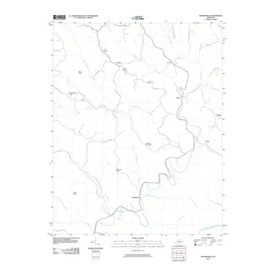
2010 Map of Amandaville
USGS Topo · Published 2010About this map
Amandaville sits at the confluence of Crocus Creek and Puncheon Camp Creek in this southern Kentucky landscape. The area is defined by a network of high ridges, including Chestnut Flat Ridge and Big Pond Ridge, which separate the various forks and branches of the local drainage system. Small settlements like Chance, Inroad, and Cundiff are linked by winding mountain roads that follow the natural contours of the land.
Find a feature on this map
48 named features on this map. Tap any name to fly to it.
Don’t see what you’re looking for? This feature index may not catch every label — zoom into the map to look around manually.
Map Details
Editions of this 2010 Amandaville Map
This is the sole edition of this map. No revisions or reprints were ever made.
Other maps of this area

1953 · Gradyville
USGS Topo · 1:24,000

1953 · Breeding
USGS Topo · 1:24,000

1953 · Waterview
USGS Topo · 1:24,000

1953 · Amandaville
USGS Topo · 1:24,000

1953 · Montpelier
USGS Topo · 1:24,000

1953 · Burkesville
USGS Topo · 1:24,000

1953 · Wolf Creek Dam
USGS Topo · 1:24,000

1953 · Creelsboro
USGS Topo · 1:24,000

1954 · Columbia
USGS Topo · 1:24,000

1956 · Corbin
USGS Topo · 1:250,000