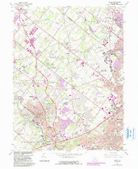
1966 Map of Ambler
USGS Topo · Published 1983About this map
Ambler and its surrounding townships in Montgomery County exhibit a landscape in transition, where mid-century suburban expansion meets established local institutions and historic estates. The southern portion of the sheet is anchored by Fort Washington State Park and the educational grounds of Temple University (Ambler Campus) and Gwynedd-Mercy College. Significant infrastructure like the Pennsylvania Turnpike and lines for Conrail and Septa provide the framework for the area's growth, connecting residential developments like Palomino Farms with established centers like Willow Grove and Horsham.
Find a feature on this map
102 named features on this map. Tap any name to fly to it.
Don’t see what you’re looking for? This feature index may not catch every label — zoom into the map to look around manually.
Map Details
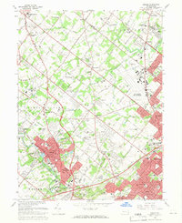
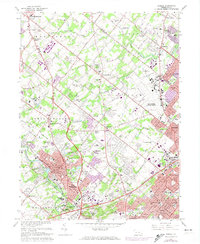
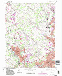
Editions of this 1966 Ambler Map
4 editions found
Other maps of this area

1888 · Quakertown
USGS Topo · 1:62,500

1890 · Doylestown
USGS Topo · 1:62,500

1890 · Quakertown
USGS Topo · 1:62,500

1891 · Doylestown
USGS Topo · 1:62,500

1893 · Germantown
USGS Topo · 1:62,500

1894 · Quakertown
USGS Topo · 1:62,500

1894 · Norristown
USGS Topo · 1:62,500

1894 · Germantown
USGS Topo · 1:62,500

1895 · Norristown
USGS Topo · 1:62,500

1896 · Germantown
USGS Topo · 1:62,500
Featured Places
- Abington Township, PA
- Warminster Township, PA
- Horsham Township, PA
- Warrington Township, PA
- Whitemarsh Township, PA