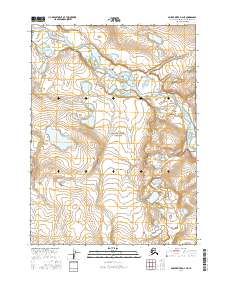
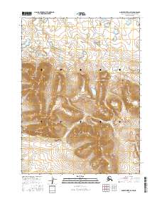
2016 Map of Ambler River D-4 NE
USGS Topo · Published 2016About this map
The Noatak River meanders through the northern portion of this landscape, its braided channels creating a complex network of sandbars and oxbows within the Noatak National Preserve. This 2016 survey illustrates the pristine hydrology of the Northwest Arctic, where the river serves as the primary corridor for movement through the tundra. Away from the water, the elevation rises steadily into the surrounding highlands, marked by the administrative grids of t30n r5e, t30n r6e, t29n r5e, and t29n r6e. The map captures a moment of modern preservation, showing a region where the natural water systems remain the dominant feature of the terrain, largely untouched by industrial infrastructure or permanent settlements.
Find a feature on this map
6 named features on this map. Tap any name to fly to it.
Don’t see what you’re looking for? This feature index may not catch every label — zoom into the map to look around manually.
Map Details
Editions of this 2016 Ambler River D-4 NE Map
This is the sole edition of this map. No revisions or reprints were ever made.
Other maps of this area

1951 · Howard Pass
USGS Topo · 1:250,000

1951 · Ambler River
USGS Topo · 1:250,000

1956 · Howard Pass
USGS Topo · 1:250,000

1956 · Ambler River
USGS Topo · 1:250,000

1964 · Ambler River
USGS Topo · 1:250,000

1984 · Howard Pass A-3
USGS Topo · 1:63,360
1990 · Ambler River D-4
USGS Topo · 1:63,360
1990 · Ambler River D-3
USGS Topo · 1:63,360
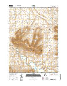
2016 · Ambler River D-4 SE
USGS Topo · 1:25,000
2016 · Ambler River D-3 SW
USGS Topo · 1:25,000