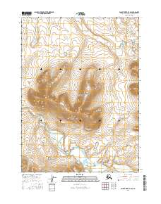
2016 Map of Ambler River D-4 SE
USGS Topo · Published 2016About this map
Noatak National Preserve encompasses the central portion of this wilderness survey, where the high elevations of the Akiknaak Peaks dominate the drainage basin. This high-latitude landscape is defined by its pristine hydraulic network, primarily the westward flow of the Imelyak River which meanders through the southern sections of the map. The elevation contours reveal the steep ascent toward the peaks, transitioning into the lower valley of Amakomanak Creek in the south-central portion of the quadrangle. As a modern 2016 record of the Alaska-Northwest Arctic Borough, the map details the Public Land Survey System grid across multiple townships, including t28n r5e and t28n r6e, providing a precise look at the land's administrative divisions within the federally protected preserve.
Find a feature on this map
10 named features on this map. Tap any name to fly to it.
Don’t see what you’re looking for? This feature index may not catch every label — zoom into the map to look around manually.
Map Details
Editions of this 2016 Ambler River D-4 SE Map
This is the sole edition of this map. No revisions or reprints were ever made.
Other maps of this area

1951 · Ambler River
USGS Topo · 1:250,000

1956 · Ambler River
USGS Topo · 1:250,000

1964 · Ambler River
USGS Topo · 1:250,000
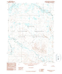
1990 · Ambler River D-4
USGS Topo · 1:63,360
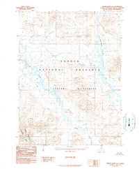
1990 · Ambler River C-4
USGS Topo · 1:63,360
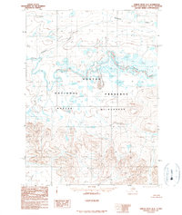
1990 · Ambler River D-3
USGS Topo · 1:63,360
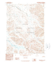
1990 · Ambler River C-3
USGS Topo · 1:63,360
2016 · Ambler River C-3 NW
USGS Topo · 1:25,000
2016 · Ambler River C-4 NE
USGS Topo · 1:25,000
2016 · Ambler River C-4 NW
USGS Topo · 1:25,000