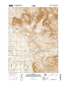
2016 Map of Ambler River C-4 NW
USGS Topo · Published 2016About this map
Noatak National Preserve encompasses a vast portion of this interior Alaskan landscape, highlighting a region defined by its lack of permanent settlements and its preserved natural state. The topography is dominated by the winding course of the Cutler River as it traverses the southern portion of the quadrangle, carving through an area marked by significant elevation changes. This 2016 survey illustrates the precise Township and Range boundaries, such as t27n r4e and t26n r5e, which provide a vital framework for understanding land management and surveying in the Brooks Range foothills. The map serves as a clear record of the hydrography and terrain of the Northwest Arctic Borough, where the river systems remain the primary geographic anchors for navigation and territorial study.
Find a feature on this map
6 named features on this map. Tap any name to fly to it.
Don’t see what you’re looking for? This feature index may not catch every label — zoom into the map to look around manually.
Map Details
Editions of this 2016 Ambler River C-4 NW Map
This is the sole edition of this map. No revisions or reprints were ever made.
Other maps of this area

1951 · Ambler River
USGS Topo · 1:250,000

1956 · Ambler River
USGS Topo · 1:250,000

1964 · Ambler River
USGS Topo · 1:250,000
1990 · Ambler River D-4
USGS Topo · 1:63,360
1990 · Ambler River C-5
USGS Topo · 1:63,360
1990 · Ambler River D-5
USGS Topo · 1:63,360
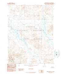
1990 · Ambler River C-4
USGS Topo · 1:63,360
2015 · Ambler River C-5 NE
USGS Topo · 1:25,000
2015 · Ambler River D-5 SE
USGS Topo · 1:25,000
2015 · Ambler River C-4 SW
USGS Topo · 1:25,000