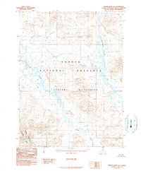
1990 Map of Ambler River C-4
USGS Topo · Published 1990About this map
Noatak National Preserve and the surrounding wilderness are defined by a complex network of unnamed peaks and glacial valleys in this remote Arctic landscape. Published in 1990 based on aerial photography from the late 1970s and early 1980s, the map reveals the confluence of high-elevation tundra and the hydrological systems that feed the northern interior. The Cutler River winds through the central and western sections, joined by tributaries like Amakomanak Creek to the east. This provisional survey captures the transition into protected lands, including the northern edge of Kobuk Valley National Park. The topography is dominated by unnamed summits reaching over 3,000 feet, highlighting the trackless nature of the Noatak Wilderness before modern infrastructure reached this part of the Northwest Arctic Borough.
Find a feature on this map
5 named features on this map. Tap any name to fly to it.
Don’t see what you’re looking for? This feature index may not catch every label — zoom into the map to look around manually.
Map Details
Editions of this 1990 Ambler River C-4 Map
This is the sole edition of this map. No revisions or reprints were ever made.
Other maps of this area

1951 · Ambler River
USGS Topo · 1:250,000

1956 · Ambler River
USGS Topo · 1:250,000

1964 · Ambler River
USGS Topo · 1:250,000
1990 · Ambler River D-4
USGS Topo · 1:63,360
1990 · Ambler River B-3
USGS Topo · 1:63,360
1990 · Ambler River B-5
USGS Topo · 1:63,360
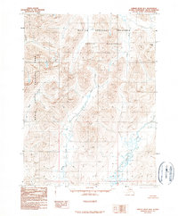
1990 · Ambler River B-4
USGS Topo · 1:63,360
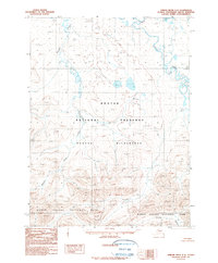
1990 · Ambler River C-5
USGS Topo · 1:63,360
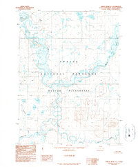
1990 · Ambler River D-5
USGS Topo · 1:63,360
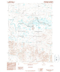
1990 · Ambler River D-3
USGS Topo · 1:63,360