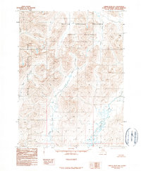
1990 Map of Ambler River B-4
USGS Topo · Published 1990About this map
The high Arctic wilderness of Northwest Alaska is documented here during a period of significant federal land conservation. Following the establishment of several massive protected areas in the region, this survey illustrates the intersection of the Kobuk Valley National Park, Noatak National Preserve, and the designated Noatak Wilderness. The landscape is dominated by the complex drainage systems of the Cutler River and Redstone River, which weave between sharp ridgelines and high mountain gaps like Ivishak Pass. Unlike many USGS quadrangles, this 1990 provisional edition shows an area entirely devoid of roads, trails, or permanent human settlements. Instead, it provides a precise look at the natural hydrology and topography of the Brooks Range foothills, including remote watercourses such as Akilli R, Miluet Creek, and Nuna Creek.
Find a feature on this map
10 named features on this map. Tap any name to fly to it.
Don’t see what you’re looking for? This feature index may not catch every label — zoom into the map to look around manually.
Map Details
Editions of this 1990 Ambler River B-4 Map
This is the sole edition of this map. No revisions or reprints were ever made.
Other maps of this area

1951 · Ambler River
USGS Topo · 1:250,000

1955 · Ambler River A-4
USGS Topo · 1:63,360

1955 · Ambler River A-5
USGS Topo · 1:63,360

1956 · Ambler River
USGS Topo · 1:250,000

1964 · Ambler River
USGS Topo · 1:250,000
1966 · Ambler River A-4
USGS Topo · 1:63,360
1985 · Ambler River A-3
USGS Topo · 1:63,360
1990 · Ambler River B-3
USGS Topo · 1:63,360
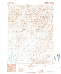
1990 · Ambler River B-5
USGS Topo · 1:63,360
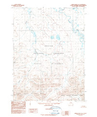
1990 · Ambler River C-5
USGS Topo · 1:63,360