
1955 Map of Ambler River A-5
USGS Topo · Published 1959About this map
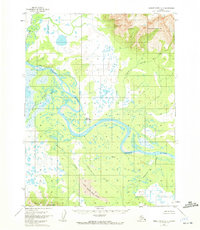
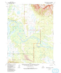
The Kobuk River snakes through the center of this mid-century survey, defining a landscape of complex meanders and shifting sand deposits. A notable point of human activity appears at Onion Portage, a site significant for its position along the river's path. To the north, the Jade Mountains rise above the drainage of Jade Creek, while the southern portion of the quadrangle is anchored by the Waring Mountains.
Find a feature on this map
14 named features on this map. Tap any name to fly to it.
Don’t see what you’re looking for? This feature index may not catch every label — zoom into the map to look around manually.
Map Details
Editions of this 1955 Ambler River A-5 Map
3 editions found
Other maps of this area

1951 · Shungnak
USGS Topo · 1:250,000

1951 · Ambler River
USGS Topo · 1:250,000

1955 · Shungnak
USGS Topo · 1:250,000

1955 · Ambler River A-4
USGS Topo · 1:63,360

1955 · Ambler River A-6
USGS Topo · 1:63,360

1955 · Shungnak D-4
USGS Topo · 1:63,360

1955 · Shungnak D-6
USGS Topo · 1:63,360

1955 · Shungnak D-5
USGS Topo · 1:63,360

1956 · Ambler River
USGS Topo · 1:250,000

1964 · Shungnak
USGS Topo · 1:250,000