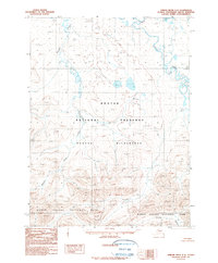
1990 Map of Ambler River C-5
USGS Topo · Published 1990About this map
Noatak National Preserve and the northern border of Kobuk Valley National Park define this expanse of the Brooks Range foothills as it was documented in the late twentieth century. The topography is dominated by the transition from high-elevation ridgelines to the wide, braided drainage systems of the Cutler River and Imelyak River. This provisional survey represents a period of intense federal conservation designation, capturing the Noatak Wilderness as it appeared shortly after the passage of the Alaska National Interest Lands Conservation Act. The lack of roads or established trails highlights the preservation of a wild watershed where smaller tributaries like Kaluich Creek and the Akillik River carve through the steep, unnamed peaks and glacial valleys.
Find a feature on this map
7 named features on this map. Tap any name to fly to it.
Don’t see what you’re looking for? This feature index may not catch every label — zoom into the map to look around manually.
Map Details
Editions of this 1990 Ambler River C-5 Map
This is the sole edition of this map. No revisions or reprints were ever made.
Other maps of this area

1951 · Ambler River
USGS Topo · 1:250,000

1956 · Ambler River
USGS Topo · 1:250,000

1964 · Ambler River
USGS Topo · 1:250,000
1990 · Ambler River D-4
USGS Topo · 1:63,360
1990 · Ambler River B-5
USGS Topo · 1:63,360
1990 · Ambler River B-6
USGS Topo · 1:63,360
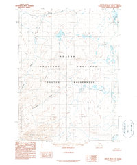
1990 · Ambler River D-6
USGS Topo · 1:63,360
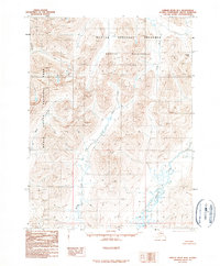
1990 · Ambler River B-4
USGS Topo · 1:63,360
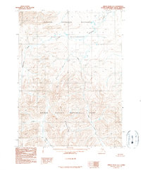
1990 · Ambler River C-6
USGS Topo · 1:63,360
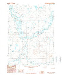
1990 · Ambler River D-5
USGS Topo · 1:63,360