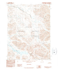
1990 Map of Ambler River C-3
USGS Topo · Published 1990About this map
Noatak National Preserve encompasses a massive stretch of the Arctic interior, shown here in a transitional era following the Alaska National Interest Lands Conservation Act. The landscape is defined by its drainage systems, most notably the Imelyak River which cuts through the northern highlands and the Redstone River flowing toward the south. The absence of roads or settlements on this survey emphasizes the remote character of the Noatak Wilderness, where topography and water are the primary markers. Researchers can trace the path of Amakomanak Creek through the western foothills, illustrating the hydrologic network of this protected corridor at the start of the 1990s.
Find a feature on this map
6 named features on this map. Tap any name to fly to it.
Don’t see what you’re looking for? This feature index may not catch every label — zoom into the map to look around manually.
Map Details
Editions of this 1990 Ambler River C-3 Map
This is the sole edition of this map. No revisions or reprints were ever made.
Other maps of this area

1951 · Ambler River
USGS Topo · 1:250,000

1956 · Ambler River
USGS Topo · 1:250,000

1964 · Ambler River
USGS Topo · 1:250,000
1990 · Ambler River D-4
USGS Topo · 1:63,360
1990 · Ambler River B-3
USGS Topo · 1:63,360
1990 · Ambler River B-4
USGS Topo · 1:63,360
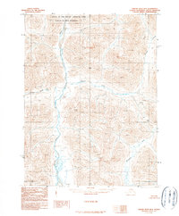
1990 · Ambler River B-2
USGS Topo · 1:63,360
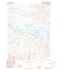
1990 · Ambler River D-2
USGS Topo · 1:63,360
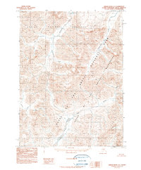
1990 · Ambler River C-2
USGS Topo · 1:63,360
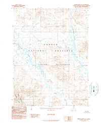
1990 · Ambler River C-4
USGS Topo · 1:63,360