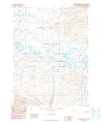
1990 Map of Ambler River D-2
USGS Topo · Published 1990About this map
The Noatak River serves as the central artery through this remote section of the Alaskan Brooks Range, documented here during a 1990 survey based on aerial photography from the late 1970s. The landscape is defined by its administrative and environmental status, split between the Noatak National Preserve and the Noatak Wilderness, while the eastern margin of the map marks the boundary of the Gates of the Arctic National Park and Wilderness. Numerous seasonal waterways such as Atongarak Creek, Douglas Creek, and Kayachurak Creek drain the high terrain into the main river valley. This map is notable for its lack of established roads or permanent settlements, instead focusing on the hydrological network and the precise topographical contours of the Arctic tundra and mountain slopes.
Find a feature on this map
11 named features on this map. Tap any name to fly to it.
Don’t see what you’re looking for? This feature index may not catch every label — zoom into the map to look around manually.
Map Details
Editions of this 1990 Ambler River D-2 Map
This is the sole edition of this map. No revisions or reprints were ever made.
Other maps of this area

1951 · Howard Pass
USGS Topo · 1:250,000

1951 · Ambler River
USGS Topo · 1:250,000

1956 · Howard Pass
USGS Topo · 1:250,000

1956 · Ambler River
USGS Topo · 1:250,000

1964 · Ambler River
USGS Topo · 1:250,000
1984 · Howard Pass A-2
USGS Topo · 1:63,360
1984 · Howard Pass A-1
USGS Topo · 1:63,360
1990 · Ambler River C-1
USGS Topo · 1:63,360
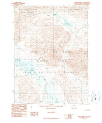
1990 · Ambler River D-1
USGS Topo · 1:63,360
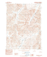
1990 · Ambler River C-2
USGS Topo · 1:63,360