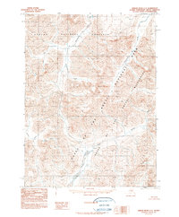
1990 Map of Ambler River C-2
USGS Topo · Published 1990About this map
The Ambler River winds through this northern Alaskan landscape, serving as a central drainage for the steep slopes within the Gates of the Arctic National Park Wilderness. Compiled from aerial photography taken in the late 1970s and early 1980s, the map illustrates a complex network of alpine watercourses including the Imelyak River and the high-elevation headwaters of Kavachurak Creek. To the west, the boundary of the Noatak National Preserve Wilderness meets the park, highlighting a protected corridor where no roads or trails were recorded. The topography is defined by sharp contour lines and numerous unnamed peaks, showcasing the drainage patterns of Tumukuchiak Creek as it feeds into the broader river valley. This provisional edition provides a detailed look at the hydrology and land management boundaries of the Northwest Arctic Borough before the turn of the millennium.
Find a feature on this map
8 named features on this map. Tap any name to fly to it.
Don’t see what you’re looking for? This feature index may not catch every label — zoom into the map to look around manually.
Map Details
Editions of this 1990 Ambler River C-2 Map
This is the sole edition of this map. No revisions or reprints were ever made.
Other maps of this area

1951 · Ambler River
USGS Topo · 1:250,000

1956 · Ambler River
USGS Topo · 1:250,000

1964 · Ambler River
USGS Topo · 1:250,000
1990 · Ambler River B-3
USGS Topo · 1:63,360
1990 · Ambler River C-1
USGS Topo · 1:63,360
1990 · Ambler River D-1
USGS Topo · 1:63,360
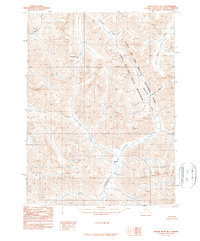
1990 · Ambler River B-1
USGS Topo · 1:63,360
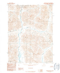
1990 · Ambler River B-2
USGS Topo · 1:63,360
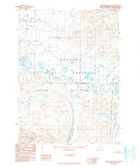
1990 · Ambler River D-2
USGS Topo · 1:63,360
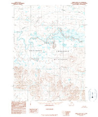
1990 · Ambler River D-3
USGS Topo · 1:63,360