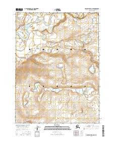
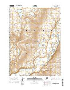
2016 Map of Ambler River D-4 NW
USGS Topo · Published 2016About this map
The Noatak River meanders across the northern portion of this landscape, its braided channels and gravel bars defining the drainage patterns of the western Arctic. As part of the Noatak National Preserve, the area remains one of the largest undisturbed watersheds in North America. The map captures the confluence where the Aniuk River joins the main river from the north, a significant geographic landmark for navigation in the region's interior.
Find a feature on this map
7 named features on this map. Tap any name to fly to it.
Don’t see what you’re looking for? This feature index may not catch every label — zoom into the map to look around manually.
Map Details
Editions of this 2016 Ambler River D-4 NW Map
This is the sole edition of this map. No revisions or reprints were ever made.
Other maps of this area

1951 · Howard Pass
USGS Topo · 1:250,000

1951 · Ambler River
USGS Topo · 1:250,000

1956 · Howard Pass
USGS Topo · 1:250,000

1956 · Ambler River
USGS Topo · 1:250,000

1964 · Ambler River
USGS Topo · 1:250,000

1984 · Howard Pass A-3
USGS Topo · 1:63,360
1990 · Ambler River D-4
USGS Topo · 1:63,360
1990 · Howard Pass A-4
USGS Topo · 1:63,360
1990 · Ambler River D-5
USGS Topo · 1:63,360
2015 · Ambler River D-5 NE
USGS Topo · 1:25,000