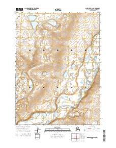
2015 Map of Ambler River D-5 NE
USGS Topo · Published 2015About this map
Noatak National Preserve encompasses the entirety of this remote Arctic landscape, where the wide, braided channels of the Noatak River flow through the southern portion of the quadrangle. The river’s path is defined by complex meanders and numerous seasonal gravel bars, reflecting a dynamic hydrological system that remains largely untouched by permanent settlement. The interior is characterized by significant topographic relief, with elevation contours tracing a series of ridges and valleys that descend toward the river basin. Surveyed coordinates for t30n r3e and t29n r4e mark the public land grid across this protected wilderness, providing a precise spatial framework for a region defined by its lack of human infrastructure.
Find a feature on this map
6 named features on this map. Tap any name to fly to it.
Don’t see what you’re looking for? This feature index may not catch every label — zoom into the map to look around manually.
Map Details
Editions of this 2015 Ambler River D-5 NE Map
This is the sole edition of this map. No revisions or reprints were ever made.
Other maps of this area

1951 · Howard Pass
USGS Topo · 1:250,000

1951 · Ambler River
USGS Topo · 1:250,000

1956 · Howard Pass
USGS Topo · 1:250,000

1956 · Ambler River
USGS Topo · 1:250,000

1964 · Ambler River
USGS Topo · 1:250,000
1990 · Ambler River D-4
USGS Topo · 1:63,360
1990 · Howard Pass A-4
USGS Topo · 1:63,360
1990 · Ambler River D-5
USGS Topo · 1:63,360
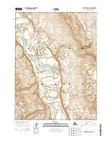
2015 · Ambler River D-5 NW
USGS Topo · 1:25,000
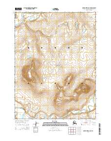
2015 · Ambler River D-5 SE
USGS Topo · 1:25,000