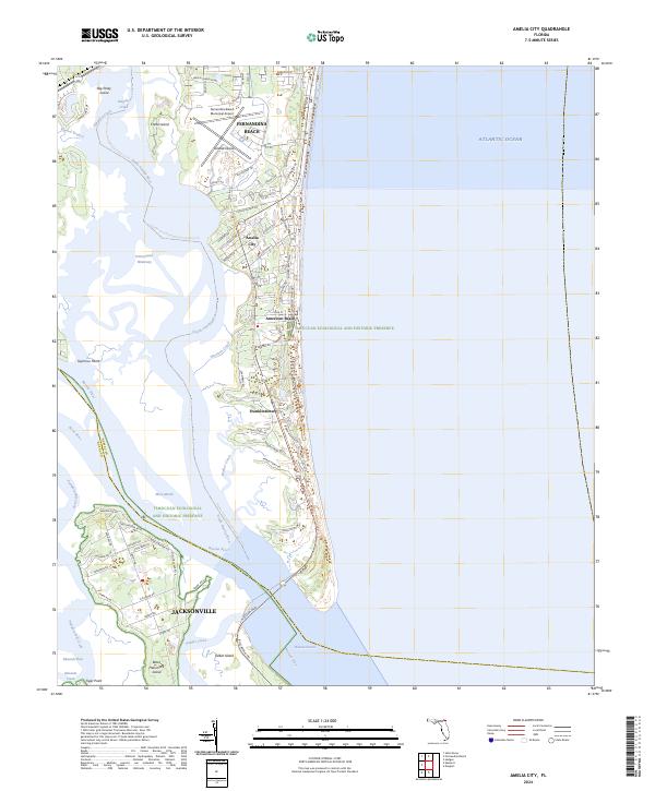
2024 Map of Amelia City
USGS Topo · Published 2024About this map
Amelia Island dominates this coastal survey, serving as a vital corridor for both natural preservation and residential development along the Atlantic Ocean. The landscape is defined by the extensive reaches of the Timucuan Ecological and Historic Preserve, which protects the delicate marshlands and tidal creeks of Mesa Marsh and Sawpit Creek. Historically significant communities such as Amelia City, American Beach, and Franklintown are situated along the Buccaneer Trl, reflecting the unique cultural and residential evolution of this barrier island. The southern portion of the map transitions into the salt marshes and sounds that separate the mainland from Talbot Island and Black Hammock Island. Transport networks are central to the area's layout, anchored by the Fernandina Beach Municipal Airport and the north-south artery of highway a1a. Waterways like the South Amelia River and the Intracoastal Waterway facilitate coastal transit through a complex network of islands and points, including Seymour Point and Tiger Point.
Find a feature on this map
43 named features on this map. Tap any name to fly to it.
Don’t see what you’re looking for? This feature index may not catch every label — zoom into the map to look around manually.
Map Details
Editions of this 2024 Amelia City Map
This is the sole edition of this map. No revisions or reprints were ever made.
Other maps of this area

1918 · St Marys
USGS Topo · 1:62,500

1918 · Jacksonville
USGS Topo · 1:62,500

1918 · Mayport
USGS Topo · 1:62,500

1919 · Fernandina
USGS Topo · 1:62,500

1919 · St Marys
USGS Topo · 1:62,500

1944 · Fernandina
USGS Topo · 1:62,500

1948 · Jacksonville
USGS Topo · 1:250,000

1948 · Eastport
USGS Topo · 1:24,000
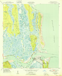
1950 · Mayport
USGS Topo · 1:24,000
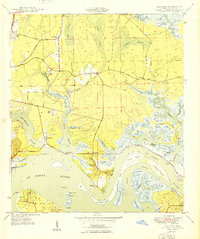
1950 · Eastport
USGS Topo · 1:24,000