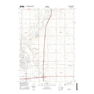
2015 Map of Ames East
USGS Topo · Published 2015About this map
Ames serves as the primary urban center in this 2015 study, where the convergence of the South Skunk River and Squaw Creek defines the local topography. This period shows the city's residential and institutional reach extending toward the historic community of Bloomington. The landscape is a mix of contemporary expansion and long-standing agricultural boundaries, with the river corridor providing a natural break in the grid-iron road system.
Find a feature on this map
93 named features on this map. Tap any name to fly to it.
Don’t see what you’re looking for? This feature index may not catch every label — zoom into the map to look around manually.
Map Details
Editions of this 2015 Ames East Map
This is the sole edition of this map. No revisions or reprints were ever made.
Other maps of this area

1911 · Slater
USGS Topo · 1:62,500

1912 · Ames
USGS Topo · 1:62,500

1913 · Slater
USGS Topo · 1:62,500

1914 · Ames
USGS Topo · 1:62,500

1954 · Waterloo
USGS Topo · 1:250,000

1954 · Des Moines
USGS Topo · 1:250,000

1955 · Waterloo
USGS Topo · 1:250,000

1956 · Des Moines
USGS Topo · 1:250,000

1957 · Des Moines
USGS Topo · 1:250,000

1969 · Des Moines
USGS Topo · 1:250,000