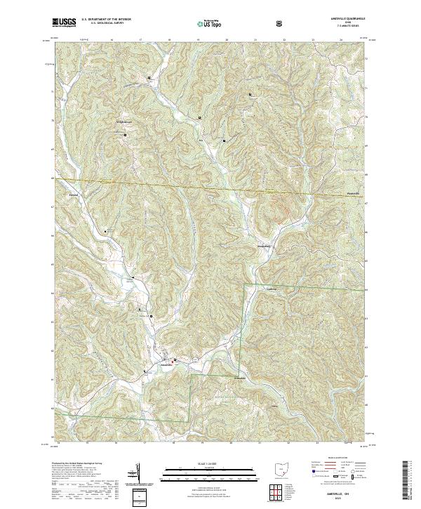
2023 Map of Amesville
USGS Topo · Published 2023About this map
Amesville and the surrounding borderlands of Athens and Morgan counties are defined by a network of steep ridges and deep hollows, where the Wayne National Forest preserves much of the local terrain. The drainage of Federal Creek and its various tributaries, such as Kitten Run and Linscott Run, dictates the winding paths of rural roads like Co Rd 35 and Mission Rd. This landscape is marked by numerous family and community burial sites, including Watson Cem and Beasley Cem, reflecting the deep-rooted settlement history of the region. Small clusters of development at Sharpsburg, Lathrop, and Utley highlight the area's transition from a 19th-century resource-based economy to a more modern rural character. Notable landmarks like Zion Ridge and Spurrier Ridge provide natural vantage points over the complex hydrography of the Marietta Run and Sulphur Run basins.
Find a feature on this map
91 named features on this map. Tap any name to fly to it.
Don’t see what you’re looking for? This feature index may not catch every label — zoom into the map to look around manually.
Map Details
Editions of this 2023 Amesville Map
This is the sole edition of this map. No revisions or reprints were ever made.
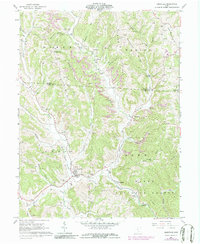
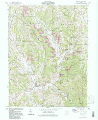
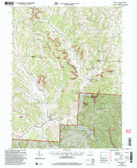
Historical Maps of Wrightstown Through Time
4 maps found