Loading...
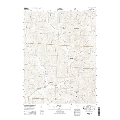
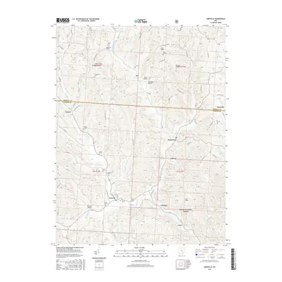
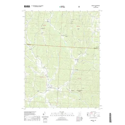
Loading map...2002 Map of Amesville
USGS Topo · Published 2006About this map
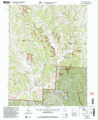
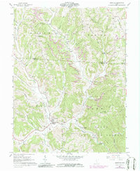
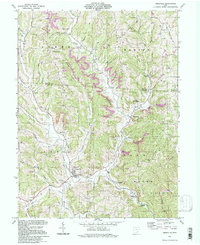
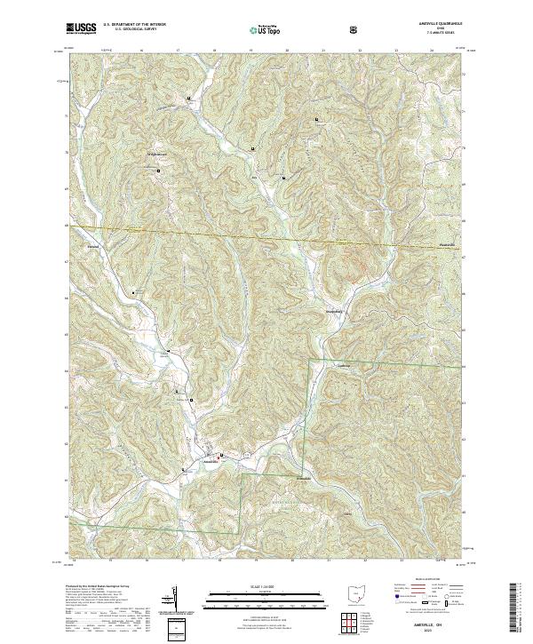
Amesville serves as the focal point of this Appalachian foothills landscape, situated where Linscott Creek and Kitten Run join Federal Creek. The terrain is defined by a dense network of ridges and hollows, notably Marion Ridge and Tick Ridge, which are heavily marked by the region's industrial legacy. Extensive strip mines dominate the northern and central hills, cutting across the drainages of Smith Fork and Anderson Hollow.
Find a feature on this map
44 named features on this map. Tap any name to fly to it.
Don’t see what you’re looking for? This feature index may not catch every label — zoom into the map to look around manually.
Map Details
Date Portrayed2002
Date Published2006
PublisherU.S. Geological Survey
Map TypeTopographic
Scale1:24,000
Physical Dimensions21.9 x 26.8 inches
Editions of this 2002 Amesville Map
This is the sole edition of this map. No revisions or reprints were ever made.
Historical Maps of Amesville Through Time
8 maps found
Featured Locations
Source Details
SourceU.S. Geological Survey
CopyrightPublic Domain