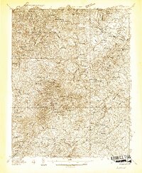
1935 Map of Amherst
USGS Topo · Published 1935About this map
George Washington National Forest dominates the western topography of this mid-1930s survey, where the Blue Ridge foothills descend toward the James River. The landscape is a network of small upland communities and rural crossroads, including Sandidges, Lowesville, and Woodson. The county seat of Amherst serves as a regional hub, connected by the Southern Railway and significant thoroughfares like State Highway No 29.
Find a feature on this map
111 named features on this map. Tap any name to fly to it.
Don’t see what you’re looking for? This feature index may not catch every label — zoom into the map to look around manually.
Map Details
Editions of this 1935 Amherst Map
This is the sole edition of this map. No revisions or reprints were ever made.
Other maps of this area

1892 · Lynchburg
USGS Topo · 1:125,000

1892 · Buckingham
USGS Topo · 1:125,000

1892 · Appomattox
USGS Topo · 1:125,000

1894 · Lexington
USGS Topo · 1:125,000
1932 · Lexington
USGS Topo · 1:48,000
1935 · Buena Vista
USGS Topo · 1:48,000
1936 · Vesuvius
USGS Topo · 1:48,000
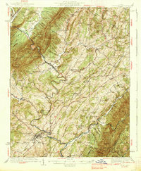
1937 · Lexington
USGS Topo · 1:62,500
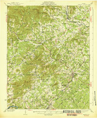
1939 · Amherst
USGS Topo · 1:62,500
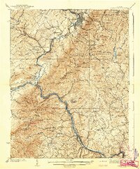
1939 · Buena Vista
USGS Topo · 1:62,500