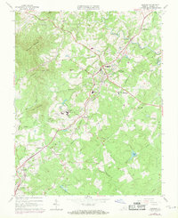
1963 Map of Amherst
USGS Topo · Published 1971About this map
The town of Amherst serves as a central hub on this Virginia landscape, where the Southern railroad line cuts through the Piedmont terrain. This 1960s survey illustrates a community deeply rooted in its institutions, featuring the sprawling campus of Sweet Briar College and the nearby Sweet Briar Station. Educational history is well-documented through several facilities, including the Amherst Training Sch, County High Sch, and Central High Sch. Local family and church history are preserved in numerous sites such as the Christian Aid Cem, Berkeley Ch, and Faulconer Cem. The rural landscape is defined by the winding Buffalo River and numerous tributaries like Tribulation Creek and Higginbotham Creek. In the south, the Izaak Walton Park and a local Golf Course indicate the recreational character of the area during this period.
Find a feature on this map
63 named features on this map. Tap any name to fly to it.
Don’t see what you’re looking for? This feature index may not catch every label — zoom into the map to look around manually.
Map Details
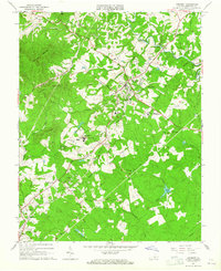
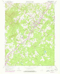
Editions of this 1963 Amherst Map
Other maps of this area

1892 · Lynchburg
USGS Topo · 1:125,000

1892 · Buckingham
USGS Topo · 1:125,000

1892 · Appomattox
USGS Topo · 1:125,000

1894 · Lexington
USGS Topo · 1:125,000

1935 · Amherst
USGS Topo · 1:48,000

1939 · Amherst
USGS Topo · 1:62,500

1944 · Lynchburg
USGS Topo · 1:62,500

1947 · Roanoke
USGS Topo · 1:250,000

1950 · Amherst
USGS Topo · 1:62,500

1950 · Lynchburg
USGS Topo · 1:62,500