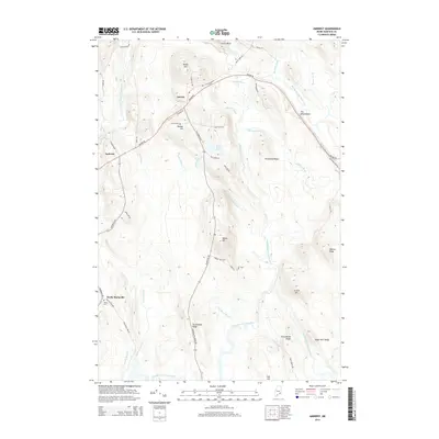
2014 Map of Amherst
USGS Topo · Published 2014About this map
The town of Aurora and its neighbor Amherst occupy the high ground of this Hancock County landscape, defined by a complex network of glacial features and waterways. The central topography is dominated by local heights such as Dunker Hill and the ridge known as The Whalesback, which run alongside the path of the Airline Rd. This transportation corridor connects the small settlements, passing near the Aurora Cem and descending toward the river valleys.
Find a feature on this map
58 named features on this map. Tap any name to fly to it.
Don’t see what you’re looking for? This feature index may not catch every label — zoom into the map to look around manually.
Map Details
Editions of this 2014 Amherst Map
This is the sole edition of this map. No revisions or reprints were ever made.
Other maps of this area

1911 · Ellsworth
USGS Topo · 1:62,500

1929 · Great Pond
USGS Topo · 1:48,000

1929 · Lead Mountain
USGS Topo · 1:48,000

1930 · Tunk Lake
USGS Topo · 1:48,000

1932 · Tunk Lake
USGS Topo · 1:62,500

1932 · Lead Mountain
USGS Topo · 1:62,500

1932 · Great Pond
USGS Topo · 1:62,500

1940 · Ellsworth
USGS Topo · 1:62,500

1942 · Ellsworth
USGS Topo · 1:62,500

1942 · Tunk Lake
USGS Topo · 1:62,500