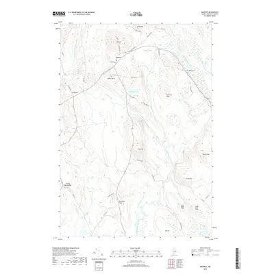
2018 Map of Amherst
USGS Topo · Published 2018About this map
Aurora and Amherst anchor this interior Hancock County landscape, where the drainage basins of the Union River's three primary branches converge. The West, Middle, and East branches of the river dictate the local topography, carving paths through significant glacial and geological formations such as The Whalesback and the broad Silsby Plains. For those tracing local history or family lineage, the map provides precise locations for the Aurora Cem and Penny Cem near North Mariaville. The road network, including the historic Old Airline Rd, connects scattered settlements and family-named landmarks like Tourtelotte Ridge and Hardwood Ridge. The abundance of smaller waterways, including Chick Brook and Joe Moore Brook, illustrates a region historically shaped by its proximity to these vital water resources and the timber or agricultural potential they supported.
Find a feature on this map
56 named features on this map. Tap any name to fly to it.
Don’t see what you’re looking for? This feature index may not catch every label — zoom into the map to look around manually.
Map Details
Editions of this 2018 Amherst Map
This is the sole edition of this map. No revisions or reprints were ever made.
Other maps of this area

1911 · Ellsworth
USGS Topo · 1:62,500

1929 · Great Pond
USGS Topo · 1:48,000

1929 · Lead Mountain
USGS Topo · 1:48,000

1930 · Tunk Lake
USGS Topo · 1:48,000

1932 · Tunk Lake
USGS Topo · 1:62,500

1932 · Lead Mountain
USGS Topo · 1:62,500

1932 · Great Pond
USGS Topo · 1:62,500

1940 · Ellsworth
USGS Topo · 1:62,500

1942 · Ellsworth
USGS Topo · 1:62,500

1942 · Tunk Lake
USGS Topo · 1:62,500