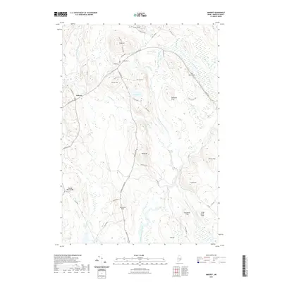
2021 Map of Amherst
USGS Topo · Published 2021About this map
The confluence of Maine's river systems and upland ridges defines this region of Hancock County, where the West Branch, Middle Branch, and East Branch Union River carve through a landscape of glacial debris and prominent hills. Settled along the historic Airline Rd, the small communities of Aurora and Amherst remain anchors for local history, with sites like the Old Settlers Cem and Aurora Cem providing critical data points for genealogists.
Find a feature on this map
58 named features on this map. Tap any name to fly to it.
Don’t see what you’re looking for? This feature index may not catch every label — zoom into the map to look around manually.
Map Details
Editions of this 2021 Amherst Map
This is the sole edition of this map. No revisions or reprints were ever made.
Other maps of this area

1911 · Ellsworth
USGS Topo · 1:62,500

1929 · Great Pond
USGS Topo · 1:48,000

1929 · Lead Mountain
USGS Topo · 1:48,000

1930 · Tunk Lake
USGS Topo · 1:48,000

1932 · Tunk Lake
USGS Topo · 1:62,500

1932 · Lead Mountain
USGS Topo · 1:62,500

1932 · Great Pond
USGS Topo · 1:62,500

1940 · Ellsworth
USGS Topo · 1:62,500

1942 · Ellsworth
USGS Topo · 1:62,500

1942 · Tunk Lake
USGS Topo · 1:62,500