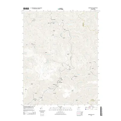
2014 Map of Amherstdale
USGS Topo · Published 2014About this map
Blair Mtn dominates the northern reaches of this Logan County landscape, where the historic Blair Mountain Lookout Tower stands as a prominent landmark. The terrain is defined by a dense network of steep ridges and named hollows, including Fallrock Hollow and Proctor Hollow, which channel life toward the valley floors. Settled communities like Amherstdale, Accoville, and Robinette are concentrated along the winding corridors of Buffalo Creek Road, reflecting the narrow, linear development patterns characteristic of West Virginia coal country. Genealogists will find a wealth of localized data, including several hillside burial grounds such as Riley Cemetery and Ruffner Cemetery. The infrastructure of the era is evidenced by features like the Rum Creek Impoundment and a web of secondary routes including Kelly Hollow Road and Braeholm Hill Road that connect isolated settlements across the ridges.
Find a feature on this map
87 named features on this map. Tap any name to fly to it.
Don’t see what you’re looking for? This feature index may not catch every label — zoom into the map to look around manually.
Map Details
Editions of this 2014 Amherstdale Map
This is the sole edition of this map. No revisions or reprints were ever made.
Other maps of this area

1891 · Oceana
USGS Topo · 1:125,000

1893 · Oceana
USGS Topo · 1:125,000

1898 · Oceana
USGS Topo · 1:125,000

1909 · Gilbert
USGS Topo · 1:48,000

1910 · Pineville
USGS Topo · 1:48,000

1910 · Bald Knob
USGS Topo · 1:48,000

1912 · Bald Knob
USGS Topo · 1:62,500

1912 · Gilbert
USGS Topo · 1:62,500

1912 · Pineville
USGS Topo · 1:62,500

1913 · Logan
USGS Topo · 1:62,500