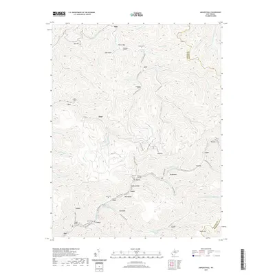
2019 Map of Amherstdale
USGS Topo · Published 2019About this map
Buffalo Creek serves as the central artery for a dense string of communities including Amherstdale, Accoville, and Robinette, illustrating the intensive residential development typical of West Virginia coal country. This survey documents the valley's settlement patterns where towns like Fanco and Braeholm are closely spaced along the valley floor, separated by the steep ridges of Kelly Mtn and Blair Mtn. Numerous family and community burial grounds, such as Ruffner Cem and the Yolyn Community Cem, are perched on the hillsides above the residential clusters.
Find a feature on this map
97 named features on this map. Tap any name to fly to it.
Don’t see what you’re looking for? This feature index may not catch every label — zoom into the map to look around manually.
Map Details
Editions of this 2019 Amherstdale Map
This is the sole edition of this map. No revisions or reprints were ever made.
Other maps of this area

1891 · Oceana
USGS Topo · 1:125,000

1893 · Oceana
USGS Topo · 1:125,000

1898 · Oceana
USGS Topo · 1:125,000

1909 · Gilbert
USGS Topo · 1:48,000

1910 · Pineville
USGS Topo · 1:48,000

1910 · Bald Knob
USGS Topo · 1:48,000

1912 · Bald Knob
USGS Topo · 1:62,500

1912 · Gilbert
USGS Topo · 1:62,500

1912 · Pineville
USGS Topo · 1:62,500

1913 · Logan
USGS Topo · 1:62,500