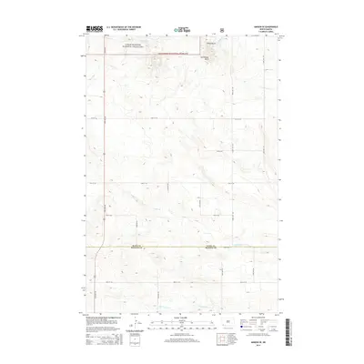
2014 Map of Amidon SE
USGS Topo · Published 2014About this map
Little Missouri National Grassland dominates the northern portion of this landscape, where the elevation rises significantly toward the distinctive high ground of the Chalky Buttes and Rattlesnake Butte. This area of the North Dakota badlands shows a transition from the protected federal grasslands down into the agricultural sections of the south, bisected by the north-south corridor of Us Hwy 85. The drainage network is particularly detailed, showing the intricate headwaters of Cedar Cr and its tributaries, including the N Fork Cedar Cr and S Fork Cedar Cr, which carve through the high plains. The map illustrates a strictly rural section of the Slope Co and Bowman Co line, defined by a rigid grid of local section roads like 144th Ave SW and 80th St SW that contrast with the winding natural paths of the creeks.
Find a feature on this map
21 named features on this map. Tap any name to fly to it.
Don’t see what you’re looking for? This feature index may not catch every label — zoom into the map to look around manually.
Map Details
Editions of this 2014 Amidon SE Map
This is the sole edition of this map. No revisions or reprints were ever made.
Other maps of this area

1953 · Dickinson
USGS Topo · 1:250,000

1957 · Dickinson
USGS Topo · 1:250,000

1968 · Bowman
USGS Topo · 1:24,000

1969 · Scranton
USGS Topo · 1:24,000

1973 · Black Butte
USGS Topo · 1:24,000

1973 · White Lake
USGS Topo · 1:24,000

1973 · Mineral Springs
USGS Topo · 1:24,000

1973 · Talbot Butte
USGS Topo · 1:24,000

1973 · Amidon SE
USGS Topo · 1:24,000

1973 · Stewart Lake
USGS Topo · 1:24,000