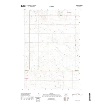
2018 Map of Amidon SE
USGS Topo · Published 2018About this map
Chalky Buttes and Rattlesnake Butte dominate the northern landscape of this North Dakota terrain, where the headwaters of the Cedar Creek system begin their eastward journey. The map reveals a land defined by its drainages, including the Sand Cr, N Cedar Cr, and N Fork Cedar Cr. This area, straddling the Slope Co / Bowman Co line, shows a sparse but organized network of section roads like 140th Ave SW and 80th St SW. The presence of Highway 85 on the western edge indicates the primary transit corridor for the region. The landscape is characterized by its high buttes and the meandering paths of the Cedar Cr and S Fork Cedar Cr, illustrating the rugged, unpopulated character of the southwestern North Dakota badlands in the late twentieth century.
Find a feature on this map
19 named features on this map. Tap any name to fly to it.
Don’t see what you’re looking for? This feature index may not catch every label — zoom into the map to look around manually.
Map Details
Editions of this 2018 Amidon SE Map
This is the sole edition of this map. No revisions or reprints were ever made.
Other maps of this area

1953 · Dickinson
USGS Topo · 1:250,000

1957 · Dickinson
USGS Topo · 1:250,000

1968 · Bowman
USGS Topo · 1:24,000

1969 · Scranton
USGS Topo · 1:24,000

1973 · Black Butte
USGS Topo · 1:24,000

1973 · White Lake
USGS Topo · 1:24,000

1973 · Mineral Springs
USGS Topo · 1:24,000

1973 · Talbot Butte
USGS Topo · 1:24,000

1973 · Amidon SE
USGS Topo · 1:24,000

1973 · Stewart Lake
USGS Topo · 1:24,000