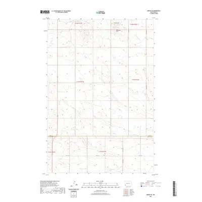
2020 Map of Amidon SE
USGS Topo · Published 2020About this map
Chalky Buttes and the nearby Rattlesnake Butte anchor the northern reaches of this landscape in Slope County, where the high prairie begins to break into the drainage systems of the Missouri River watershed. This survey captures a terrain defined by its complex hydrography, showing the divergence of Cedar Cr and its various tributaries, including the N Fork Cedar Cr and S Fork Cedar Cr. The southern border follows the line between Slope Co and Bowman Co, a boundary that cuts across a network of rural section-line roads like 80th St SW. The map documents a sparsely populated ranching or farming region where the infrastructure is primarily limited to the grid of the Public Land Survey System and the local roads that follow them, such as 140th Ave SW, providing a precise record of late-twentieth-century land use and drainage patterns in the North Dakota badlands fringe.
Find a feature on this map
18 named features on this map. Tap any name to fly to it.
Don’t see what you’re looking for? This feature index may not catch every label — zoom into the map to look around manually.
Map Details
Editions of this 2020 Amidon SE Map
This is the sole edition of this map. No revisions or reprints were ever made.
Other maps of this area

1953 · Dickinson
USGS Topo · 1:250,000

1957 · Dickinson
USGS Topo · 1:250,000

1968 · Bowman
USGS Topo · 1:24,000

1969 · Scranton
USGS Topo · 1:24,000

1973 · Black Butte
USGS Topo · 1:24,000

1973 · White Lake
USGS Topo · 1:24,000

1973 · Mineral Springs
USGS Topo · 1:24,000

1973 · Talbot Butte
USGS Topo · 1:24,000

1973 · Amidon SE
USGS Topo · 1:24,000

1973 · Stewart Lake
USGS Topo · 1:24,000