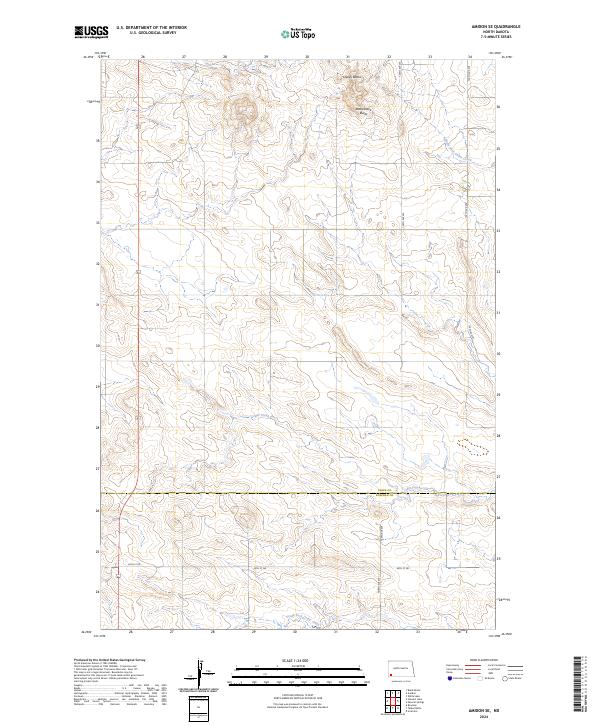
2024 Map of Amidon SE
USGS Topo · Published 2024About this map
Chalky Buttes and Rattlesnake Butte dominate the northern landscape of this North Dakota quadrangle, where the headwaters of several drainages begin their eastward journey. The terrain is defined by the branching network of the Cedar Creek system, including the North Fork Cedar Creek and South Fork Cedar Creek. This 2024 survey documents the enduring section-line road grid across the border of Slope and Bowman counties, represented by corridors like 140th Ave SW and 80th St SW. The map illustrates a contemporary pattern of land use where large-scale ranching or agricultural divisions follow the Public Land Survey System, with the landscape mostly devoid of concentrated settlements, focusing instead on the natural topography and the sparse infrastructure required to navigate these high plains.
Find a feature on this map
16 named features on this map. Tap any name to fly to it.
Don’t see what you’re looking for? This feature index may not catch every label — zoom into the map to look around manually.
Map Details
Editions of this 2024 Amidon SE Map
This is the sole edition of this map. No revisions or reprints were ever made.
Other maps of this area

1953 · Dickinson
USGS Topo · 1:250,000

1957 · Dickinson
USGS Topo · 1:250,000

1968 · Bowman
USGS Topo · 1:24,000

1969 · Scranton
USGS Topo · 1:24,000

1973 · Black Butte
USGS Topo · 1:24,000

1973 · White Lake
USGS Topo · 1:24,000

1973 · Mineral Springs
USGS Topo · 1:24,000

1973 · Talbot Butte
USGS Topo · 1:24,000

1973 · Amidon SE
USGS Topo · 1:24,000

1973 · Stewart Lake
USGS Topo · 1:24,000