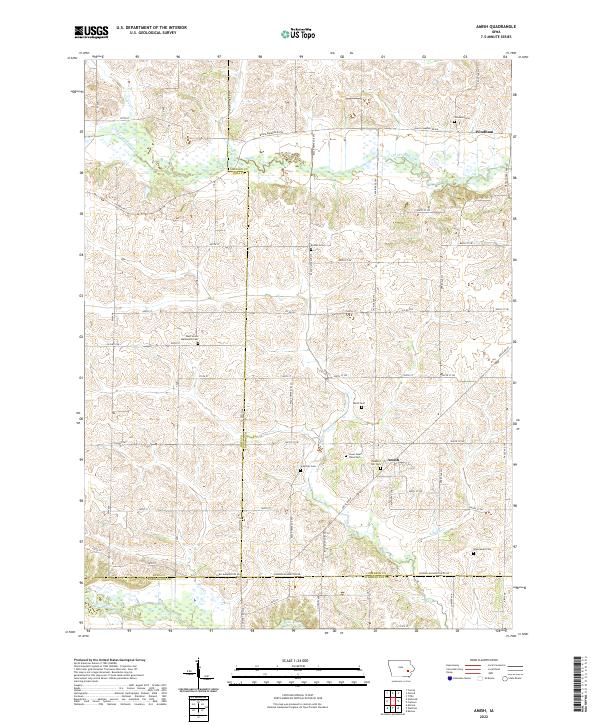
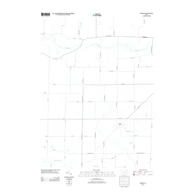
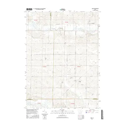
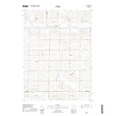
2022 Map of Amish
USGS Topo · Published 2022About this map
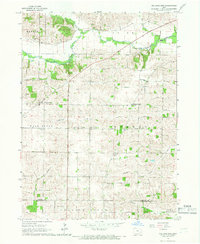
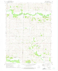
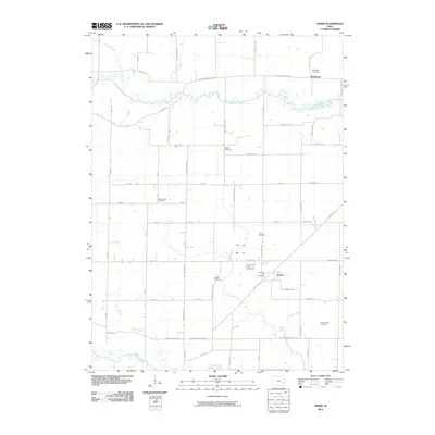
The settlement of Amish and the community of Windham anchor this landscape along the border of Johnson and Iowa counties. The terrain is defined by a dense network of watercourses, including the southward flow of Old Mans Creek and the English River at the southern boundary. This area is particularly rich in genealogical sites, featuring numerous historic burial grounds such as the West Union Mennonite Cem and the Lower Deer Creek Cem.
Find a feature on this map
60 named features on this map. Tap any name to fly to it.
Don’t see what you’re looking for? This feature index may not catch every label — zoom into the map to look around manually.
Map Details
Editions of this 2022 Amish Map
This is the sole edition of this map. No revisions or reprints were ever made.
Historical Maps of Amish Through Time
27 maps found
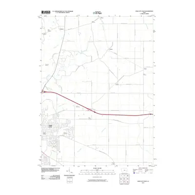
1965 Iowa City East
Johnson County, IA
1965 Iowa City West
Johnson County, IA
1965 West Liberty SW
Johnson County, IA
1965 Williamstown
Johnson County, IA
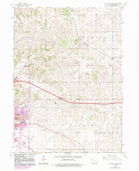
1973 Amish
Johnson County, IA

1993 Iowa City East
Johnson County, IA
1994 Iowa City West
Johnson County, IA
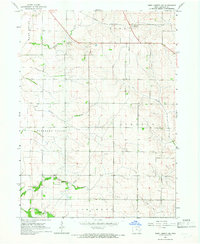
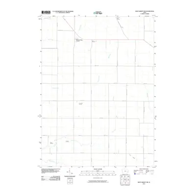
2010 Amish
Johnson County, IA
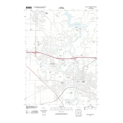
2010 Iowa City East
Johnson County, IA
2010 Iowa City West
Johnson County, IA
2010 West Liberty SW
Johnson County, IA
2013 Amish
Johnson County, IA
2013 Iowa City East
Johnson County, IA
2013 Iowa City West
Johnson County, IA
2013 West Liberty SW
Johnson County, IA
2015 Amish
Johnson County, IA
2015 Iowa City East
Johnson County, IA
2015 Iowa City West
Johnson County, IA
2015 West Liberty SW
Johnson County, IA
2018 Amish
Johnson County, IA
2018 Iowa City East
Johnson County, IA
2018 Iowa City West
Johnson County, IA
2018 West Liberty SW
Johnson County, IA
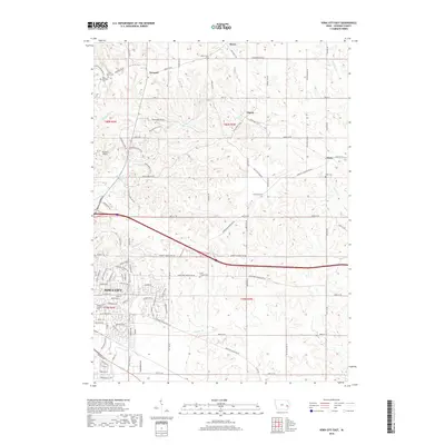
2022 Amish
Johnson County, IA
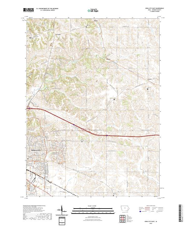
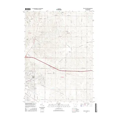
2022 Iowa City East
Johnson County, IA
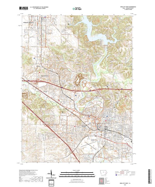
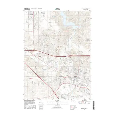
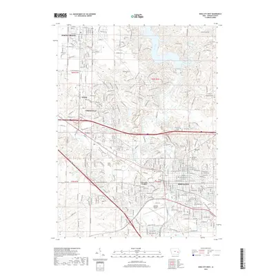
2022 Iowa City West
Johnson County, IA
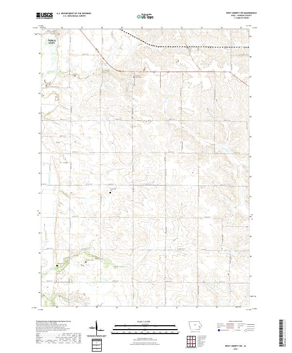
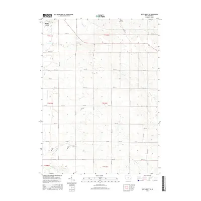
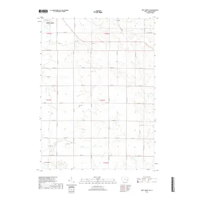
2022 West Liberty SW
Johnson County, IA