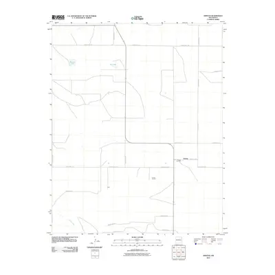
2010 Map of Amistad
USGS Topo · Published 2010About this map
Amistad serves as the primary focal point of this Union County survey, centered around the Amistad Post Office and the nearby Amistad Cemetery. The settlement pattern follows a grid-like network of county roads, such as County Hwy C-114 and County Rd-C115, which connect the small community of Miller to the surrounding high plains. The landscape is defined by intermittent water sources and depressions, including the named Maestas Lake and Salt Lake to the north, while the drainage of Monia Creek cuts across the southwestern corner of the quadrangle. This 2010 topographic representation illustrates a ranching and farming landscape where the primary infrastructure consists of localized thoroughfares and scattered homesteads, providing a clear record of rural land use in the northeastern corner of New Mexico during the early 21st century.
Find a feature on this map
19 named features on this map. Tap any name to fly to it.
Don’t see what you’re looking for? This feature index may not catch every label — zoom into the map to look around manually.
Map Details
Editions of this 2010 Amistad Map
This is the sole edition of this map. No revisions or reprints were ever made.
Other maps of this area

1954 · Tucumcari
USGS Topo · 1:250,000

1954 · Dalhart
USGS Topo · 1:250,000

1958 · Tucumcari
USGS Topo · 1:250,000

1958 · Dalhart
USGS Topo · 1:250,000

1962 · Dalhart
USGS Topo · 1:250,000

1966 · Skull Mesa
USGS Topo · 1:24,000

1966 · Ione
USGS Topo · 1:24,000

1966 · Hayden
USGS Topo · 1:24,000

1970 · Stead
USGS Topo · 1:24,000

1970 · Sedan SE
USGS Topo · 1:24,000