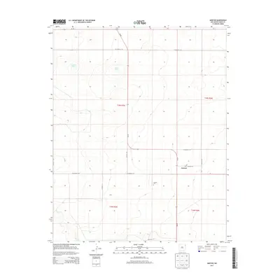
2013 Map of Amistad
USGS Topo · Published 2013About this map
Amistad stands as a focal point of this northeastern New Mexico plains landscape, situated near the intersection of NM-402 and Co Road C110. The presence of the Po and the nearby Amistad Cem suggests the town's role as a local service hub for the surrounding ranching community. To the west, the arid terrain is dotted with intermittent water sources like Maestas Lake and Salt Lake, while the headwaters of Monia Cr drain toward the southwest. The map also identifies smaller named localities such as Miller and Cain Ranch, which illustrate the dispersed settlement pattern of Union County in the early 21st century. High-clearance roads and local routes like Ricketson Rd and Hall Rd connect these distant outposts across the high prairie.
Find a feature on this map
23 named features on this map. Tap any name to fly to it.
Don’t see what you’re looking for? This feature index may not catch every label — zoom into the map to look around manually.
Map Details
Editions of this 2013 Amistad Map
This is the sole edition of this map. No revisions or reprints were ever made.
Other maps of this area

1954 · Tucumcari
USGS Topo · 1:250,000

1954 · Dalhart
USGS Topo · 1:250,000

1958 · Tucumcari
USGS Topo · 1:250,000

1958 · Dalhart
USGS Topo · 1:250,000

1962 · Dalhart
USGS Topo · 1:250,000

1966 · Skull Mesa
USGS Topo · 1:24,000

1966 · Ione
USGS Topo · 1:24,000

1966 · Hayden
USGS Topo · 1:24,000

1970 · Stead
USGS Topo · 1:24,000

1970 · Sedan SE
USGS Topo · 1:24,000