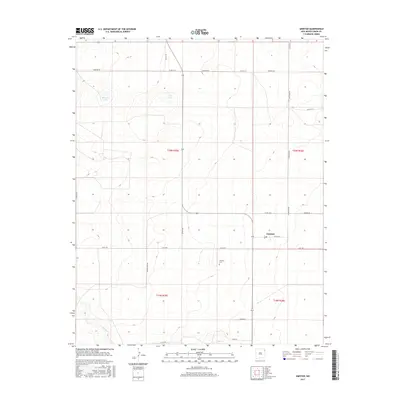
2017 Map of Amistad
USGS Topo · Published 2017About this map
Amistad stands as a focal point in this high plains landscape of Union County, situated along the eastern edge of New Mexico. The geography is defined by a sparse but vital network of water sources, including the alkaline waters of Salt Lake and the nearby Maestas Lake. These seasonal features, along with the drainage of Monia Cr at the southern edge of the survey, have historically dictated the patterns of ranching and settlement in this semi-arid environment.
Find a feature on this map
24 named features on this map. Tap any name to fly to it.
Don’t see what you’re looking for? This feature index may not catch every label — zoom into the map to look around manually.
Map Details
Editions of this 2017 Amistad Map
This is the sole edition of this map. No revisions or reprints were ever made.
Other maps of this area

1954 · Tucumcari
USGS Topo · 1:250,000

1954 · Dalhart
USGS Topo · 1:250,000

1958 · Tucumcari
USGS Topo · 1:250,000

1958 · Dalhart
USGS Topo · 1:250,000

1962 · Dalhart
USGS Topo · 1:250,000

1966 · Skull Mesa
USGS Topo · 1:24,000

1966 · Ione
USGS Topo · 1:24,000

1966 · Hayden
USGS Topo · 1:24,000

1970 · Stead
USGS Topo · 1:24,000

1970 · Sedan SE
USGS Topo · 1:24,000