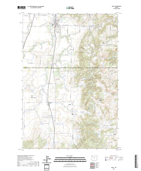
2023 Map of Amity
USGS Topo · Published 2023About this map
The agricultural landscape of the Willamette Valley is defined by the rolling heights of the Eola Hills and Amity Hills as they meet the alluvial plains of the Yamhill Co and Polk Co border. The settlement of Amity anchors the north, while the rural communities of McCoy, Bethel, and Zena trace a south-running line along the valley floor. Water management is central to the area's geography, evidenced by numerous private and named catchments including Stewart Reservoir, Martin Brothers Flashboard Reservoir, and Maple Mound Reservoir. The terrain is deeply inscribed with small-scale agricultural history, from the Vineyard Airport to the family names marking landmarks like Red's Field and Crescent Hill. Genealogists will find interest in the three local burial grounds: Amity Cem, Bethel Cem, and Zena Cem, which remain as fixed points in this evolving wine and farming region.
Find a feature on this map
66 named features on this map. Tap any name to fly to it.
Don’t see what you’re looking for? This feature index may not catch every label — zoom into the map to look around manually.
Map Details
Editions of this 2023 Amity Map
This is the sole edition of this map. No revisions or reprints were ever made.
Other maps of this area

1915 · Rickreall
USGS Topo · 1:31,680

1915 · Eola
USGS Topo · 1:31,680

1917 · Salem
USGS Topo · 1:62,500

1924 · Mc Minnville
USGS Topo · 1:48,000

1926 · Mc Minnville
USGS Topo · 1:62,500

1940 · McMinnville
USGS Topo · 1:62,500

1940 · Salem
USGS Topo · 1:62,500

1942 · Sheridan
USGS Topo · 1:62,500

1942 · Dallas
USGS Topo · 1:62,500

1948 · Vancouver
USGS Topo · 1:250,000