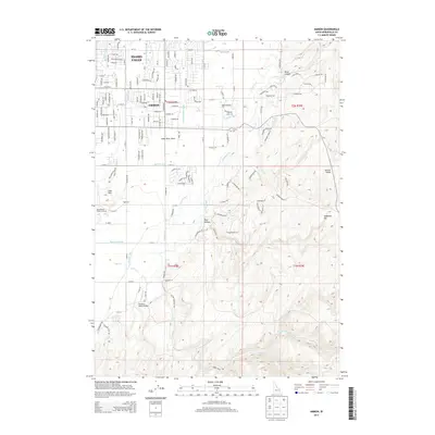
2013 Map of Ammon
USGS Topo · Published 2013About this map
Idaho Falls and the growing city of Ammon anchor the northwestern corner of this study, where residential street grids meet the agricultural expanse of the Snake River Plain. This landscape is defined by an intricate network of irrigation, featuring essential water routes like the Ammon Extension Canal, Gardner Canal, and the Meppen Spillway. These man-made features work in tandem with natural drainages such as Sand Creek and Henry Cr to transform the arid terrain into productive farmland. To the east and south, the elevation rises sharply away from the valley floor. Features such as the Sand Hills, Rock Hollow, and Galbraith Hill illustrate the transition from the irrigated plains to more varied topography. Notable local landmarks include the SandyDowns Rodeo Grounds and the Rainbow Ranch Airport, reflecting the region's mix of traditional western culture and modern infrastructure.
Find a feature on this map
90 named features on this map. Tap any name to fly to it.
Don’t see what you’re looking for? This feature index may not catch every label — zoom into the map to look around manually.
Map Details
Editions of this 2013 Ammon Map
This is the sole edition of this map. No revisions or reprints were ever made.
Other maps of this area

1924 · Ammon
USGS Topo · 1:62,500

1948 · Idaho Falls North
USGS Topo · 1:24,000

1948 · Idaho Falls South
USGS Topo · 1:24,000

1948 · Ucon
USGS Topo · 1:24,000

1949 · Ucon
USGS Topo · 1:24,000

1949 · Idaho Falls North
USGS Topo · 1:24,000

1949 · Roberts
USGS Topo · 1:62,500

1950 · Idaho Falls South
USGS Topo · 1:24,000

1950 · Rigby
USGS Topo · 1:62,500

1950 · Goshen
USGS Topo · 1:24,000