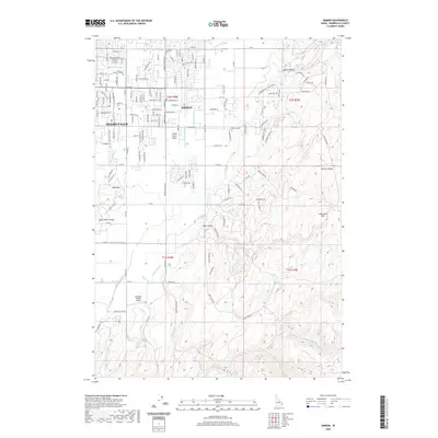
2020 Map of Ammon
USGS Topo · Published 2020About this map
Ammon and the eastern outskirts of Idaho Falls occupy a landscape defined by an intricate network of irrigation engineering on the Snake River Plain. This 2020 survey details the extensive water management system necessary for the region's agricultural and municipal growth, featuring the Meppen Canal, Gardner Canal, and Hillside Canal. The transition from urban street grids to the rugged breaks of the high country is evident as the terrain rises toward Black Canyon and Galbraith Hill. Local institutional history is anchored by the College of Eastern Idaho in the northwest, while the Ammon Cem and the Rainbow Ranch Airport serve as distinct landmarks within the shifting boundaries of residential development and open range. The topography reveals a series of natural basins and ridges, including Rock Hollow and the Sand Hills, illustrating the geological character of Bonneville County.
Find a feature on this map
151 named features on this map. Tap any name to fly to it.
Don’t see what you’re looking for? This feature index may not catch every label — zoom into the map to look around manually.
Map Details
Editions of this 2020 Ammon Map
This is the sole edition of this map. No revisions or reprints were ever made.
Other maps of this area

1924 · Ammon
USGS Topo · 1:62,500

1948 · Idaho Falls North
USGS Topo · 1:24,000

1948 · Idaho Falls South
USGS Topo · 1:24,000

1948 · Ucon
USGS Topo · 1:24,000

1949 · Ucon
USGS Topo · 1:24,000

1949 · Idaho Falls North
USGS Topo · 1:24,000

1949 · Roberts
USGS Topo · 1:62,500

1950 · Idaho Falls South
USGS Topo · 1:24,000

1950 · Rigby
USGS Topo · 1:62,500

1950 · Goshen
USGS Topo · 1:24,000