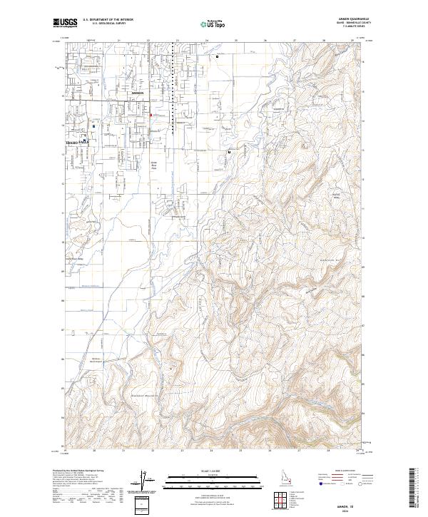
2024 Map of Ammon
USGS Topo · Published 2024About this map
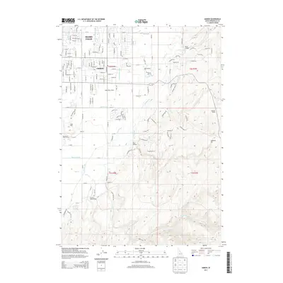
Ammon and the eastern edge of Idaho Falls occupy a transition where the agricultural Snake River Plain meets the rising terrain of the Blackfoot Mountains. This landscape is defined by an intricate irrigation system essential to regional development, featuring the Meppen Canal, Highline Canal, and the Meppen Spillway. These man-made waterways navigate the geological shift from the Sand Hills in the northwest toward the more elevated peaks of the southeast, such as Galbraith Hill. The map documents the city's suburban expansion, noting significant local institutions like the College of Eastern Idaho and the Ammon Cem. Farther south, the grid of Ammon gives way to drainage networks like Taylor Creek and Henry Creek, while the Rainbow Ranch Airport sits as a notable landmark on the valley floor.
Find a feature on this map
161 named features on this map. Tap any name to fly to it.
Don’t see what you’re looking for? This feature index may not catch every label — zoom into the map to look around manually.
Map Details
Editions of this 2024 Ammon Map
This is the sole edition of this map. No revisions or reprints were ever made.
Historical Maps of Idaho Falls Through Time
7 maps found