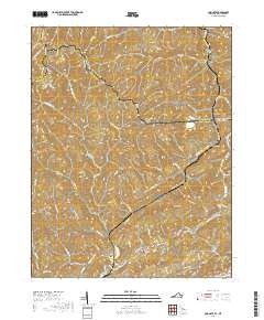
2019 Map of Amonate
USGS Topo · Published 2019About this map
Amonate and Faraday anchor this mountain landscape at the boundary between Virginia and West Virginia, where the Tennessee Valley Divide snakes through the high ridges of the central Appalachians. The drainage patterns of Indian Cr and Dry Fork dictate the location of historic coal-country settlements, which are linked by narrow roads like State Rte 627 and State Rte 624.
Find a feature on this map
84 named features on this map. Tap any name to fly to it.
Don’t see what you’re looking for? This feature index may not catch every label — zoom into the map to look around manually.
Map Details
Editions of this 2019 Amonate Map
This is the sole edition of this map. No revisions or reprints were ever made.
Other maps of this area

1891 · Tazewell
USGS Topo · 1:125,000

1895 · Tazewell
USGS Topo · 1:125,000

1897 · Tazewell
USGS Topo · 1:125,000
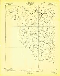
1910 · Iaeger
USGS Topo · 1:48,000
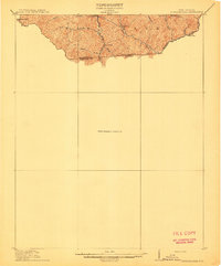
1912 · Pounding Mill
USGS Topo · 1:62,500
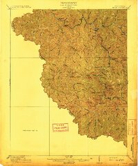
1912 · Iaeger
USGS Topo · 1:62,500
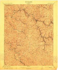
1912 · Welch
USGS Topo · 1:62,500
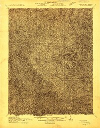
1914 · Iaeger
USGS Topo · 1:48,000
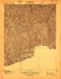
1915 · Richlands
USGS Topo · 1:48,000
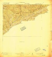
1916 · Pounding Mill
USGS Topo · 1:62,500