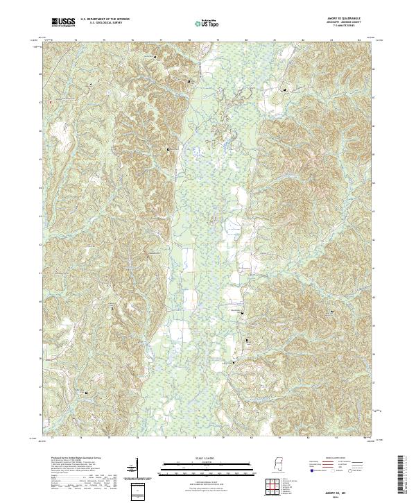
2024 Map of Amory SE
USGS Topo · Published 2024About this map
The Buttahatchee River meanders through the heart of this Monroe County landscape, shaping a terrain defined by its intricate drainage system and small family-named landmarks. The area is dense with historical burial grounds, providing a significant resource for genealogical research with sites such as Moss and Reed Cem, Cedar Grove Cem, and Sartor Cem scattered across the rural hills. Water features like Cockerham Lake and Honoll Mill Creek suggest a legacy of local land use tied to the river's floodplains and tributaries.
Find a feature on this map
58 named features on this map. Tap any name to fly to it.
Don’t see what you’re looking for? This feature index may not catch every label — zoom into the map to look around manually.
Map Details
Editions of this 2024 Amory SE Map
This is the sole edition of this map. No revisions or reprints were ever made.
Other maps of this area

1953 · West Point
USGS Topo · 1:250,000

1958 · West Point
USGS Topo · 1:250,000

1960 · Caledonia
USGS Topo · 1:62,500

1963 · West Point
USGS Topo · 1:250,000

1966 · Amory
USGS Topo · 1:24,000

1966 · Amory SW
USGS Topo · 1:24,000

1966 · Greenwood Springs
USGS Topo · 1:24,000

1966 · Amory SE
USGS Topo · 1:24,000

1967 · Sulligent
USGS Topo · 1:24,000

1967 · Sulligent SW
USGS Topo · 1:24,000