
1931 Map of Amsterdam
USGS Topo · Published 1931About this map
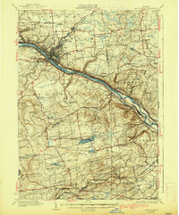
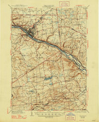
The industrial heart of Amsterdam and the surrounding Mohawk Valley are documented here just before the 1930s. The Mohawk River serves as the central artery for commerce, flanked by the Barge Canal and a dense network of railroads including the New York Central RR (West Shore). While the riverfront is defined by intensive transport and the urban core near St Marys Ch, the outlying areas show a landscape of rural schoolhouses and small hamlets like Minaville and Scotch Bush.
Find a feature on this map
101 named features on this map. Tap any name to fly to it.
Don’t see what you’re looking for? This feature index may not catch every label — zoom into the map to look around manually.
Map Details
Editions of this 1931 Amsterdam Map
3 editions found
Other maps of this area

1893 · Schenectady
USGS Topo · 1:62,500

1893 · Albany
USGS Topo · 1:62,500

1895 · Albany
USGS Topo · 1:62,500

1895 · Schenectady
USGS Topo · 1:62,500

1895 · Amsterdam
USGS Topo · 1:62,500

1896 · Fonda
USGS Topo · 1:62,500

1898 · Schenectady
USGS Topo · 1:62,500

1898 · Albany
USGS Topo · 1:62,500

1898 · Fonda
USGS Topo · 1:62,500

1898 · Schoharie
USGS Topo · 1:62,500