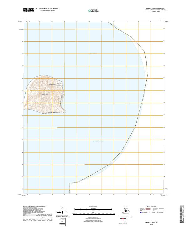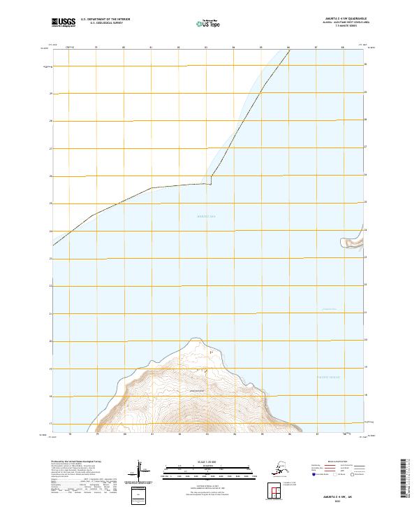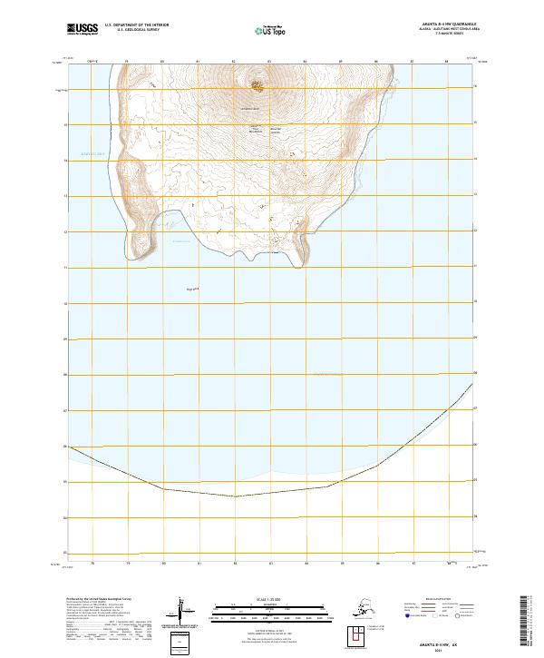
2021 Map of Amukta B-4 NW
USGS Topo · Published 2021About this map
Amukta Island dominates this isolated volcanic landscape within the Islands of Four Mountains group of the Aleutian Islands. The steep, concentric elevation contours rise sharply from the coastline toward a central peak, reflecting the island's tectonic origins. On the western shore, Traders Cove provides a rare natural indentation in the coast, while the solitary High Rock stands as a landmark south of the main landmass. This 2021 study by the U.S. Geological Survey documents the current coastline where the Bering Sea meets the Pacific Ocean. The lack of inland infrastructure or settlements emphasizes the remote nature of this maritime environment, where the landform itself is the primary navigational feature for the few who traverse these North Pacific waters.
Find a feature on this map
8 named features on this map. Tap any name to fly to it.
Don’t see what you’re looking for? This feature index may not catch every label — zoom into the map to look around manually.
Map Details
Editions of this 2021 Amukta B-4 NW Map
This is the sole edition of this map. No revisions or reprints were ever made.