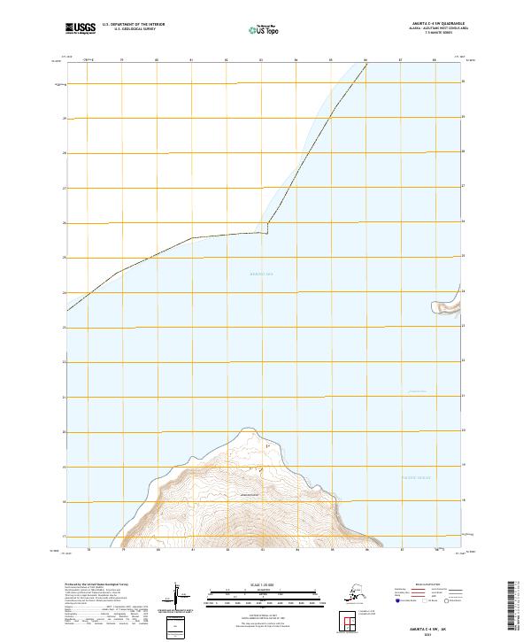
2021 Map of Amukta C-4 SE
USGS Topo · Published 2021About this map
Chagulak Island dominates the western portion of this maritime survey, rising sharply from the surrounding waters as part of the Islands of Four Mountains chain. This isolated landmass serves as a natural divide between the cold reaches of the Bering Sea to the north and the expansive Pacific Ocean to the south. The 2021 topography illustrates the steep volcanic terrain characteristic of the Aleutian Islands, with land contours and maritime boundaries, such as t88s r153w, marking the transition between the open sea and this remote island peak.
Find a feature on this map
6 named features on this map. Tap any name to fly to it.
Don’t see what you’re looking for? This feature index may not catch every label — zoom into the map to look around manually.
Map Details
Editions of this 2021 Amukta C-4 SE Map
This is the sole edition of this map. No revisions or reprints were ever made.