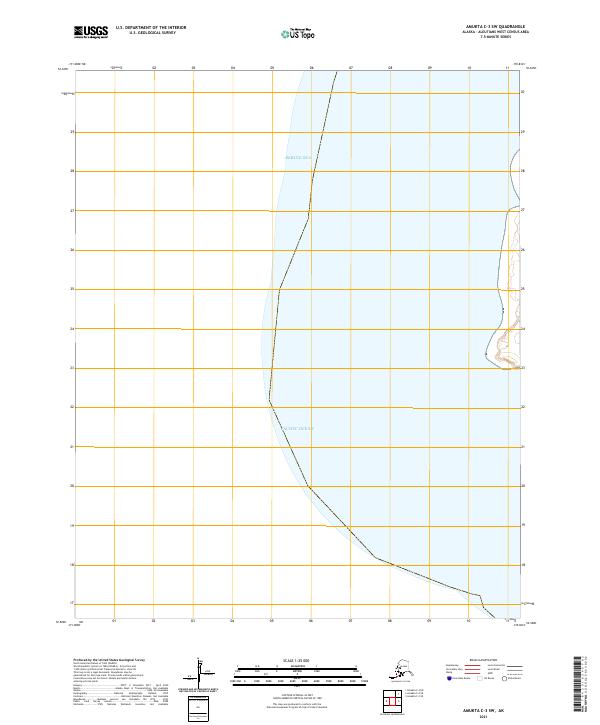
2021 Map of Amukta C-3 SW
USGS Topo · Published 2021About this map
The Pacific Ocean and the Bering Sea meet along the dramatic maritime boundary of the Aleutian chain in this 2021 survey. This map depicts a significant transition zone where the waters of the North Pacific converge with the Bering Sea, defined by the public land survey system divisions of t87s r151w and t88s r151w. The area is characterized by its isolation and the vast aquatic expanse, with only a small portion of coastal land appearing on the eastern edge of the quadrangle. This layout emphasizes the importance of maritime coordinates and historical surveying lines in one of the most remote sections of the United States.
Find a feature on this map
4 named features on this map. Tap any name to fly to it.
Don’t see what you’re looking for? This feature index may not catch every label — zoom into the map to look around manually.
Map Details
Editions of this 2021 Amukta C-3 SW Map
This is the sole edition of this map. No revisions or reprints were ever made.