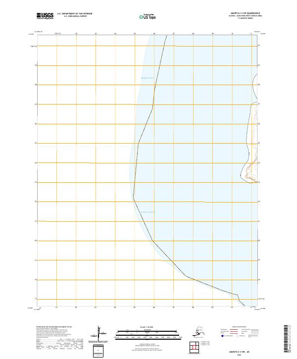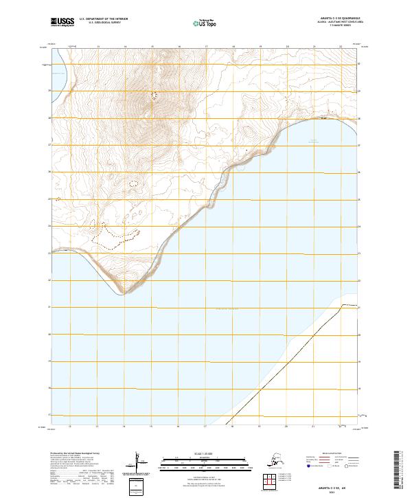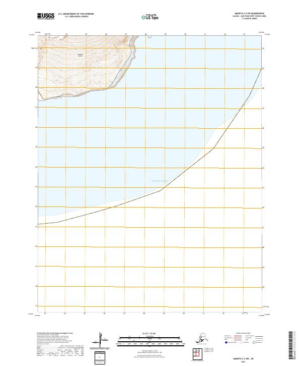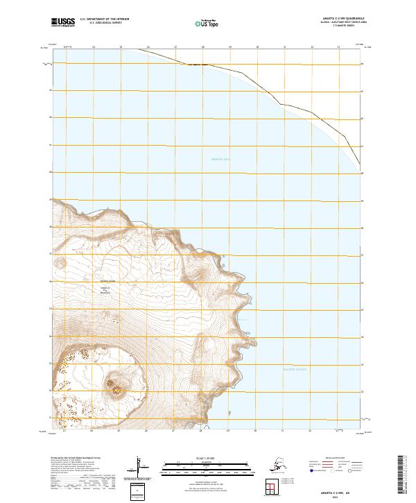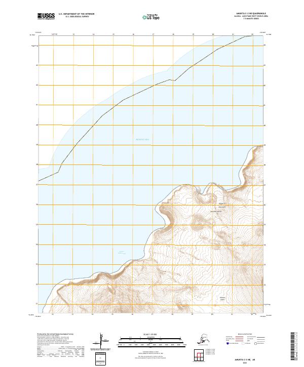
2021 Map of Amukta C-3 NE
USGS Topo · Published 2021About this map
Yunaska Island dominates this portion of the Islands of Four Mountains in the Aleutian Islands chain. This volcanic landscape is defined by its steep coastal contours meeting the cold waters of the Bering Sea. On the western shore of the island, Crater Anchorage provides a natural seafaring reference point along a coast otherwise dominated by high ridges and sharp elevation changes. The map documents the topographical character of this remote archipelago, tracing the land's rise from the shoreline into the interior peaks. The absence of human-made infrastructure emphasizes the isolation of this island group, where the terrain is governed by the geological forces of the Aleutian arc.
Find a feature on this map
8 named features on this map. Tap any name to fly to it.
Don’t see what you’re looking for? This feature index may not catch every label — zoom into the map to look around manually.
Map Details
Editions of this 2021 Amukta C-3 NE Map
This is the sole edition of this map. No revisions or reprints were ever made.